Distance to Poughkeepsie, Arkansas

Calculating Your Route
Just a moment while we process your request...
Location Information
-
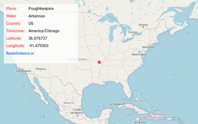
Full AddressPoughkeepsie, AR 72569
-
Coordinates36.0767373, -91.4793034
-
LocationPoughkeepsie , Arkansas , US
-
TimezoneAmerica/Chicago
-
Current Local Time8:16:41 PM America/ChicagoWednesday, June 18, 2025
-
Page Views0
About Poughkeepsie
Poughkeepsie is an unincorporated community in Sharp County, Arkansas, United States. The community is located in south central Sharp County, one mile south of the Strawberry River. The community is on Arkansas Highway 56 approximately six miles east of Evening Shade.
Nearby Places
Found 10 places within 50 miles

Evening Shade
7.6 mi
12.2 km
Evening Shade, AR
Get directions

Smithville
9.8 mi
15.8 km
Smithville, AR 72466
Get directions

Cave City
10.1 mi
16.3 km
Cave City, AR 72521
Get directions
Sidney
11.3 mi
18.2 km
Sidney, AR
Get directions
Strawberry
11.6 mi
18.7 km
Strawberry, AR 72469
Get directions

Ash Flat
12.5 mi
20.1 km
Ash Flat, AR
Get directions

Highland
13.1 mi
21.1 km
Highland, AR
Get directions

Lynn
13.6 mi
21.9 km
Lynn, AR
Get directions
Hidden Valley
13.9 mi
22.4 km
Hidden Valley, Highland, AR 72542
Get directions
Williford
13.9 mi
22.4 km
Williford, AR 72482
Get directions
Location Links
Local Weather
Weather Information
Coming soon!
Location Map
Static map view of Poughkeepsie, Arkansas
Browse Places by Distance
Places within specific distances from Poughkeepsie
Short Distances
Long Distances
Click any distance to see all places within that range from Poughkeepsie. Distances shown in miles (1 mile ≈ 1.61 kilometers).