Distance to and from Powellsville, North Carolina
Powellsville, NC
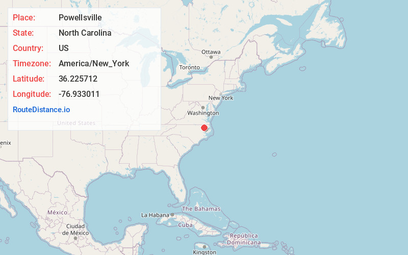
Powellsville
North Carolina
US
America/New_York
Location Information
-
Full AddressPowellsville, NC
-
Coordinates36.225712, -76.9330114
-
LocationPowellsville , North Carolina , US
-
TimezoneAmerica/New_York
-
Current Local Time7:46:48 PM America/New_YorkSaturday, May 3, 2025
-
Page Views0
Directions to Nearest Cities
About Powellsville
Powellsville is a town in Bertie County, North Carolina, United States. The population was 276 at the 2010 census. The city is home to Travis Bond
Nearby Places
Found 10 places within 50 miles

Ahoskie
5.1 mi
8.2 km
Ahoskie, NC 27910
Get directions

Askewville
8.0 mi
12.9 km
Askewville, NC 27983
Get directions
Cofield
9.1 mi
14.6 km
Cofield, NC
Get directions

Colerain
9.3 mi
15.0 km
Colerain, NC 27924
Get directions
Harrellsville
9.5 mi
15.3 km
Harrellsville, NC 27942
Get directions
Aulander
10.1 mi
16.3 km
Aulander, NC 27805
Get directions
Winton
11.7 mi
18.8 km
Winton, NC 27986
Get directions

Chowan Beach
12.2 mi
19.6 km
Chowan Beach, NC 27932
Get directions
Lewiston Woodville
15.3 mi
24.6 km
Lewiston Woodville, NC 27849
Get directions

Windsor
15.7 mi
25.3 km
Windsor, NC 27983
Get directions
Ahoskie
5.1 mi
8.2 km
Ahoskie, NC 27910
Askewville
8.0 mi
12.9 km
Askewville, NC 27983
Cofield
9.1 mi
14.6 km
Cofield, NC
Colerain
9.3 mi
15.0 km
Colerain, NC 27924
Harrellsville
9.5 mi
15.3 km
Harrellsville, NC 27942
Aulander
10.1 mi
16.3 km
Aulander, NC 27805
Winton
11.7 mi
18.8 km
Winton, NC 27986
Chowan Beach
12.2 mi
19.6 km
Chowan Beach, NC 27932
Lewiston Woodville
15.3 mi
24.6 km
Lewiston Woodville, NC 27849
Windsor
15.7 mi
25.3 km
Windsor, NC 27983
Location Links
Local Weather
Weather Information
Coming soon!
Location Map
Static map view of Powellsville, North Carolina
Browse Places by Distance
Places within specific distances from Powellsville
Short Distances
Long Distances
Click any distance to see all places within that range from Powellsville. Distances shown in miles (1 mile ≈ 1.61 kilometers).