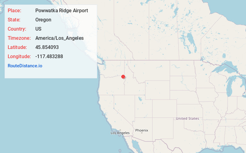
Distance to Powwatka Ridge Airport, Oregon

Calculating Your Route
Just a moment while we process your request...
Location Information
-
Full AddressPowwatka Ridge Airport, Wallowa, OR 97885
-
Coordinates45.8540933, -117.483288
-
LocationWallowa , Oregon , US
-
TimezoneAmerica/Los_Angeles
-
Current Local Time6:33:24 AM America/Los_AngelesSunday, June 1, 2025
-
Page Views0
Nearby Places
Found 10 places within 50 miles

Flora
8.9 mi
14.3 km
Flora, OR 97828
Get directions

Paradise
14.0 mi
22.5 km
Paradise, OR 97828
Get directions

Wallowa
19.7 mi
31.7 km
Wallowa, OR 97885
Get directions

Minam
19.8 mi
31.9 km
Minam, OR 97827
Get directions
Lewis
21.9 mi
35.2 km
Lewis, OR 97828
Get directions

Lostine
25.5 mi
41.0 km
Lostine, OR 97857
Get directions

Anatone
25.7 mi
41.4 km
Anatone, WA
Get directions
Stentz Spring
26.2 mi
42.2 km
Stentz Spring, WA 99347
Get directions

Elgin
29.0 mi
46.7 km
Elgin, OR 97827
Get directions

Tollgate
29.7 mi
47.8 km
Tollgate, OR 97886
Get directions
Location Links
Local Weather
Weather Information
Coming soon!
Location Map
Static map view of Powwatka Ridge Airport, Oregon
Browse Places by Distance
Places within specific distances from Powwatka Ridge Airport
Short Distances
Long Distances
Click any distance to see all places within that range from Powwatka Ridge Airport. Distances shown in miles (1 mile ≈ 1.61 kilometers).