Distance to Prairietown, Illinois

Calculating Your Route
Just a moment while we process your request...
Location Information
-
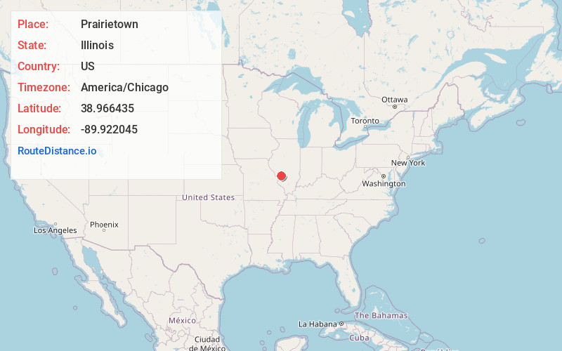
Full AddressPrairietown, IL
-
Coordinates38.9664352, -89.9220452
-
LocationPrairietown , Illinois , US
-
TimezoneAmerica/Chicago
-
Current Local Time4:32:55 PM America/ChicagoWednesday, June 25, 2025
-
Page Views1
About Prairietown
Prairietown is an unincorporated community and census-designated place in Madison County, Illinois, United States. As of the 2020 census, it had a population of 153. It is part of the Metro East region of Greater St. Louis.

Nearby Places
Found 10 places within 50 miles

Holiday Shores
3.2 mi
5.1 km
Holiday Shores, IL
Get directions

Worden
5.1 mi
8.2 km
Worden, IL 62097
Get directions

Bunker Hill
5.5 mi
8.9 km
Bunker Hill, IL 62014
Get directions

Moro
6.1 mi
9.8 km
Moro, IL 62067
Get directions

Hamel
6.8 mi
10.9 km
Hamel, IL
Get directions

Bethalto
7.5 mi
12.1 km
Bethalto, IL
Get directions

Staunton
7.7 mi
12.4 km
Staunton, IL 62088
Get directions
Wilsonville
8.0 mi
12.9 km
Wilsonville, IL
Get directions

Livingston
8.5 mi
13.7 km
Livingston, IL
Get directions
Rosewood Heights
9.8 mi
15.8 km
Rosewood Heights, IL
Get directions
Location Links
Local Weather
Weather Information
Coming soon!
Location Map
Static map view of Prairietown, Illinois
Browse Places by Distance
Places within specific distances from Prairietown
Short Distances
Long Distances
Click any distance to see all places within that range from Prairietown. Distances shown in miles (1 mile ≈ 1.61 kilometers).