Distance to Preemption, Illinois

Calculating Your Route
Just a moment while we process your request...
Location Information
-
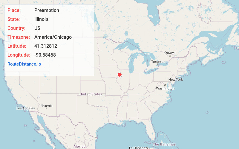
Full AddressPreemption, IL
-
Coordinates41.3128123, -90.5845796
-
LocationPreemption , Illinois , US
-
TimezoneAmerica/Chicago
-
Current Local Time1:34:14 PM America/ChicagoThursday, June 19, 2025
-
Page Views0
About Preemption
Preemption is an unincorporated community and census-designated place in Preemption Township, Mercer County, Illinois, United States. As of the 2020 census, it had a population of 254. Preemption is 4 miles west of Sherrard and has a post office with ZIP code 61276.


Nearby Places
Found 10 places within 50 miles

Matherville
3.9 mi
6.3 km
Matherville, IL 61231
Get directions

Sherrard
4.1 mi
6.6 km
Sherrard, IL 61281
Get directions

Reynolds
4.6 mi
7.4 km
Reynolds, IL
Get directions

Coyne Center
6.5 mi
10.5 km
Coyne Center, IL 61264
Get directions
Oak Grove
6.8 mi
10.9 km
Oak Grove, IL
Get directions

Viola
7.6 mi
12.2 km
Viola, IL 61486
Get directions

Milan
9.7 mi
15.6 km
Milan, IL
Get directions

Coal Valley
10.3 mi
16.6 km
Coal Valley, IL 61240
Get directions
Edgington
10.6 mi
17.1 km
Edgington, IL 61284
Get directions

Orion
10.9 mi
17.5 km
Orion, IL 61273
Get directions
Location Links
Local Weather
Weather Information
Coming soon!
Location Map
Static map view of Preemption, Illinois
Browse Places by Distance
Places within specific distances from Preemption
Short Distances
Long Distances
Click any distance to see all places within that range from Preemption. Distances shown in miles (1 mile ≈ 1.61 kilometers).