Distance to Preston, Washington

Calculating Your Route
Just a moment while we process your request...
Location Information
-
Full AddressPreston, WA 98027
-
Coordinates47.5239174, -121.9274489
-
LocationPreston , Washington , US
-
TimezoneAmerica/Los_Angeles
-
Current Local Time12:49:23 PM America/Los_AngelesTuesday, June 24, 2025
-
Page Views0
About Preston
Preston is an unincorporated and exurban community in the northwest United States, located 22 miles east of Seattle in King County, Washington. It was named after railway official William T. Preston.
Preston is a historic mill town on the northeast edge of the large Tiger Mountain State Forest, along Interstate 90.


Nearby Places
Found 10 places within 50 miles

Fall City
3.5 mi
5.6 km
Fall City, WA 98024
Get directions

Snoqualmie
4.8 mi
7.7 km
Snoqualmie, WA
Get directions

Issaquah
4.9 mi
7.9 km
Issaquah, WA
Get directions

Mirrormont
5.3 mi
8.5 km
Mirrormont, WA
Get directions

North Bend
6.8 mi
10.9 km
North Bend, WA 98045
Get directions

Ames Lake
7.7 mi
12.4 km
Ames Lake, WA
Get directions

Ellisville
7.9 mi
12.7 km
Ellisville, WA 98045
Get directions

Sammamish
8.1 mi
13.0 km
Sammamish, WA
Get directions
Ernies Grove
8.5 mi
13.7 km
Ernies Grove, WA 98065
Get directions

Carnation
8.6 mi
13.8 km
Carnation, WA 98014
Get directions
Location Links
Local Weather
Weather Information
Coming soon!
Location Map
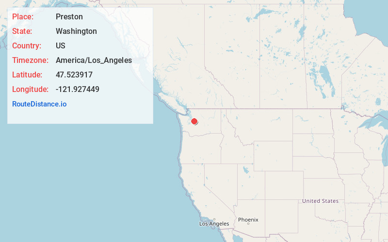
Static map view of Preston, Washington
Browse Places by Distance
Places within specific distances from Preston
Short Distances
Long Distances
Click any distance to see all places within that range from Preston. Distances shown in miles (1 mile ≈ 1.61 kilometers).