Distance to Pricetown, North Carolina

Calculating Your Route
Just a moment while we process your request...
Location Information
-
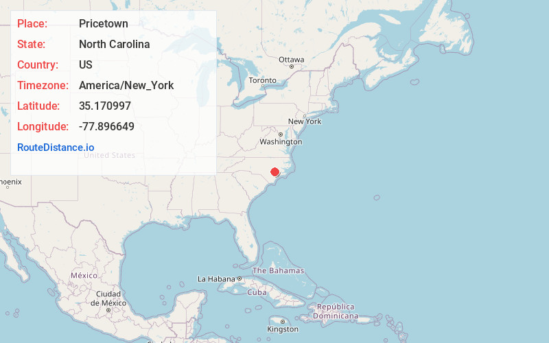
Full AddressPricetown, NC 28578
-
Coordinates35.1709972, -77.8966494
-
LocationNorth Carolina , US
-
TimezoneAmerica/New_York
-
Current Local Time4:00:40 AM America/New_YorkWednesday, June 18, 2025
-
Page Views0
Nearby Places
Found 10 places within 50 miles

Blizzards Crossroads
2.4 mi
3.9 km
Blizzards Crossroads, NC 28365
Get directions
Herrings Crossroads
3.8 mi
6.1 km
Herrings Crossroads, NC 28508
Get directions

Seven Springs
4.8 mi
7.7 km
Seven Springs, NC
Get directions
Albertson
5.9 mi
9.5 km
Albertson, NC 28508
Get directions
Strabane
7.1 mi
11.4 km
Strabane, NC 28504
Get directions
Kornegay
8.8 mi
14.2 km
Kornegay, NC 28508
Get directions
Tulls Mill
9.4 mi
15.1 km
Tulls Mill, NC 28525
Get directions
Walnut Creek
9.6 mi
15.4 km
Walnut Creek, NC
Get directions

Mt Olive
9.7 mi
15.6 km
Mt Olive, NC 28365
Get directions
Deep Run
11.0 mi
17.7 km
Deep Run, NC 28525
Get directions
Location Links
Local Weather
Weather Information
Coming soon!
Location Map
Static map view of Pricetown, North Carolina
Browse Places by Distance
Places within specific distances from Pricetown
Short Distances
Long Distances
Click any distance to see all places within that range from Pricetown. Distances shown in miles (1 mile ≈ 1.61 kilometers).