Distance to Priest Point, Washington

Calculating Your Route
Just a moment while we process your request...
Location Information
-
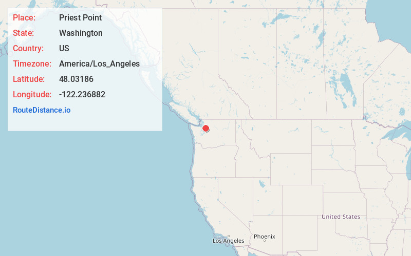
Full AddressPriest Point, WA
-
Coordinates48.0318597, -122.2368821
-
LocationPriest Point , Washington , US
-
TimezoneAmerica/Los_Angeles
-
Current Local Time11:49:11 AM America/Los_AngelesMonday, June 2, 2025
-
Page Views0
About Priest Point
Priest Point is a residential area within the Tulalip Indian Reservation in Snohomish County, Washington, United States. It was a census-designated place during the 2000 census with a population of 779. The CDP was discontinued at the 2010 census.
Nearby Places
Found 10 places within 50 miles

Marysville
3.1 mi
5.0 km
Marysville, WA
Get directions

Everett
3.9 mi
6.3 km
Everett, WA
Get directions

Hat Island
4.1 mi
6.6 km
Hat Island, WA
Get directions

Clinton
6.6 mi
10.6 km
Clinton, WA
Get directions

Lake Cassidy
6.7 mi
10.8 km
Lake Cassidy, WA 98258
Get directions

Mukilteo
6.8 mi
10.9 km
Mukilteo, WA
Get directions

Lake Goodwin
7.7 mi
12.4 km
Lake Goodwin, WA
Get directions

Langley
7.8 mi
12.6 km
Langley, WA 98260
Get directions

Lake Stevens
8.1 mi
13.0 km
Lake Stevens, WA 98258
Get directions

Bunk Foss
8.2 mi
13.2 km
Bunk Foss, WA
Get directions
Location Links
Local Weather
Weather Information
Coming soon!
Location Map
Static map view of Priest Point, Washington
Browse Places by Distance
Places within specific distances from Priest Point
Short Distances
Long Distances
Click any distance to see all places within that range from Priest Point. Distances shown in miles (1 mile ≈ 1.61 kilometers).