Distance to Princeton, Massachusetts

Calculating Your Route
Just a moment while we process your request...
Location Information
-
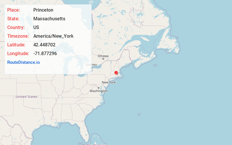
Full AddressPrinceton, MA
-
Coordinates42.4487019, -71.877296
-
LocationPrinceton , Massachusetts , US
-
TimezoneAmerica/New_York
-
Current Local Time2:29:32 AM America/New_YorkThursday, June 19, 2025
-
Page Views0
About Princeton
Princeton is a town in Worcester County, Massachusetts, United States. It is bordered on the east by Sterling and Leominster, on the north by Westminster, on the northwest by Hubbardston, on the southwest by Rutland, and on the southeast by Holden.


Nearby Places
Found 10 places within 50 miles

Sterling
6.1 mi
9.8 km
Sterling, MA 01564
Get directions

Rutland
6.6 mi
10.6 km
Rutland, MA
Get directions

Holden
6.7 mi
10.8 km
Holden, MA
Get directions

Hubbardston
6.8 mi
10.9 km
Hubbardston, MA 01452
Get directions

Westminster
6.9 mi
11.1 km
Westminster, MA
Get directions

West Boylston
7.3 mi
11.7 km
West Boylston, MA
Get directions

Leominster
8.0 mi
12.9 km
Leominster, MA
Get directions

Paxton
9.8 mi
15.8 km
Paxton, MA 01612
Get directions

Clinton
10.0 mi
16.1 km
Clinton, MA
Get directions

Fitchburg
10.1 mi
16.3 km
Fitchburg, MA 01420
Get directions
Location Links
Local Weather
Weather Information
Coming soon!
Location Map
Static map view of Princeton, Massachusetts
Browse Places by Distance
Places within specific distances from Princeton
Short Distances
Long Distances
Click any distance to see all places within that range from Princeton. Distances shown in miles (1 mile ≈ 1.61 kilometers).