Distance to Pritchardville, South Carolina

Calculating Your Route
Just a moment while we process your request...
Location Information
-
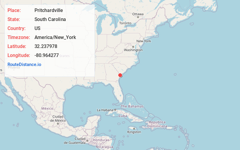
Full AddressPritchardville, SC 29910
-
Coordinates32.2379783, -80.9642766
-
LocationPritchardville , South Carolina , US
-
TimezoneAmerica/New_York
-
Current Local Time11:57:41 PM America/New_YorkTuesday, June 17, 2025
-
Page Views0
About Pritchardville
Pritchardville is an unincorporated community in Beaufort County, South Carolina, United States, located between Hardeeville and Bluffton on South Carolina Highway 46. The community takes its name from nearby Pritchard Farms.
Pritchardville was originally built up chiefly by settlers from Ohio.
Nearby Places
Found 10 places within 50 miles

Bluffton
6.1 mi
9.8 km
Bluffton, SC
Get directions

Hardeeville
7.6 mi
12.2 km
Hardeeville, SC
Get directions

Daufuskie Island
10.1 mi
16.3 km
Daufuskie Island, SC
Get directions

Daufuskie Landing
10.3 mi
16.6 km
Daufuskie Landing, Daufuskie Island, SC 29915
Get directions

Fripp Landing
10.7 mi
17.2 km
Fripp Landing, SC 29909
Get directions

Savannah
13.2 mi
21.2 km
Savannah, GA
Get directions

Port Wentworth
13.2 mi
21.2 km
Port Wentworth, GA
Get directions
Garden City
14.0 mi
22.5 km
Garden City, GA
Get directions
Talahi Island
14.2 mi
22.9 km
Talahi Island, GA 31410
Get directions

Thunderbolt
15.0 mi
24.1 km
Thunderbolt, GA
Get directions
Location Links
Local Weather
Weather Information
Coming soon!
Location Map
Static map view of Pritchardville, South Carolina
Browse Places by Distance
Places within specific distances from Pritchardville
Short Distances
Long Distances
Click any distance to see all places within that range from Pritchardville. Distances shown in miles (1 mile ≈ 1.61 kilometers).