Distance to Puerto Natales, Magallanes and Chilean Antarctica

Calculating Your Route
Just a moment while we process your request...
Location Information
-
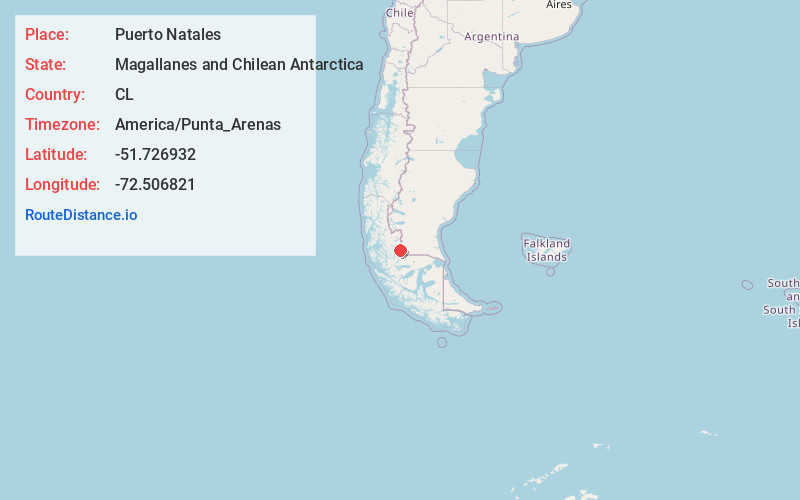
Full AddressPuerto Natales, Natales, Magallanes and Chilean Antarctica, Chile
-
Coordinates-51.7269318, -72.5068209
-
LocationPuerto Natales, Natales , Magallanes and Chilean Antarctica , CL
-
TimezoneAmerica/Punta_Arenas
-
Current Local Time7:20:44 AM America/Punta_ArenasSunday, June 1, 2025
-
Website
-
Page Views0
About Puerto Natales
Puerto Natales is a port city on the Señoret Channel in Chile’s southern Patagonia. It’s the gateway to Torres del Paine National Park to the northwest, and the port for boats touring the Patagonian fjords. The Municipal Historical Museum in the city center exhibits artifacts from the region’s indigenous population. To the north is the vast Mylodon Cave, once inhabited by prehistoric, slothlike mylodons.


Location Links
Local Weather
Weather Information
Coming soon!
Location Map
Static map view of Puerto Natales, Magallanes and Chilean Antarctica
Browse Places by Distance
Places within specific distances from Puerto Natales
Short Distances
Long Distances
Click any distance to see all places within that range from Puerto Natales. Distances shown in miles (1 mile ≈ 1.61 kilometers).