Distance to and from Pukalani, Hawaii
Pukalani, HI 96768
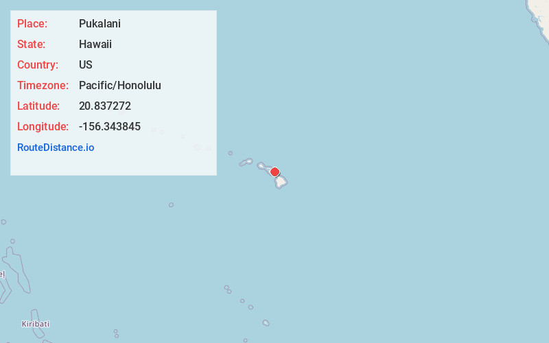
Pukalani
Hawaii
US
Pacific/Honolulu
Location Information
-
Full AddressPukalani, HI 96768
-
Coordinates20.8372717, -156.3438445
-
LocationPukalani , Hawaii , US
-
TimezonePacific/Honolulu
-
Current Local Time8:36:51 PM Pacific/HonoluluSaturday, May 3, 2025
-
Page Views0
Directions to Nearest Cities
About Pukalani
Pukalani is a census-designated place in Maui County, Hawaiʻi, United States. The population was 8,299 at the 2020 census. The western volcano-slope region of Haleakalā, including nearby Makawao and Kula, is referred to as Upcountry Maui by locals, and is one of the four major population centers on Maui.


Nearby Places
Found 6 places within 50 miles

Haiku-Pauwela
6.0 mi
9.7 km
Haiku-Pauwela, HI
Get directions

Kahului
9.1 mi
14.6 km
Kahului, HI
Get directions

Kihei
9.8 mi
15.8 km
Kihei, HI 96753
Get directions

Wailuku
10.9 mi
17.5 km
Wailuku, HI 96793
Get directions

Waihee-Waiehu
11.4 mi
18.3 km
Waihee-Waiehu, HI 96793
Get directions

Lahaina
22.0 mi
35.4 km
Lahaina, HI
Get directions
Location Links
Local Weather
Weather Information
Coming soon!
Location Map
Static map view of Pukalani, Hawaii
Browse Places by Distance
Places within specific distances from Pukalani
Short Distances
Long Distances
Click any distance to see all places within that range from Pukalani. Distances shown in miles (1 mile ≈ 1.61 kilometers).