Distance to Pulaski, New York

Calculating Your Route
Just a moment while we process your request...
Location Information
-
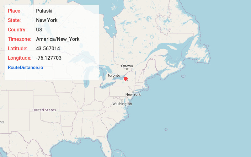
Full AddressPulaski, NY 13142
-
Coordinates43.5670136, -76.1277027
-
LocationPulaski , New York , US
-
TimezoneAmerica/New_York
-
Current Local Time5:51:04 PM America/New_YorkWednesday, June 18, 2025
-
Page Views0
About Pulaski
Pulaski is a village in Oswego County, New York, United States. The population was 2,365 at the 2010 census. The village is within the town of Richland, and lies between the eastern shore of Lake Ontario and the Tug Hill region. The village is located on U.S. Route 11 and is adjacent to Interstate 81.


Nearby Places
Found 10 places within 50 miles

Richland
3.9 mi
6.3 km
Richland, NY
Get directions

Sandy Creek
5.7 mi
9.2 km
Sandy Creek, NY
Get directions

Ellisburg
11.5 mi
18.5 km
Ellisburg, NY
Get directions
Hastings
13.4 mi
21.6 km
Hastings, NY 13076
Get directions

Palermo
16.0 mi
25.7 km
Palermo, NY 13069
Get directions

West Monroe
20.0 mi
32.2 km
West Monroe, NY 13167
Get directions

Schroeppel
20.6 mi
33.2 km
Schroeppel, NY
Get directions

Brewerton
22.7 mi
36.5 km
Brewerton, NY
Get directions
Constantia
23.0 mi
37.0 km
Constantia, NY
Get directions

Phoenix
24.8 mi
39.9 km
Phoenix, NY 13135
Get directions
Location Links
Local Weather
Weather Information
Coming soon!
Location Map
Static map view of Pulaski, New York
Browse Places by Distance
Places within specific distances from Pulaski
Short Distances
Long Distances
Click any distance to see all places within that range from Pulaski. Distances shown in miles (1 mile ≈ 1.61 kilometers).