Distance to Pulcifer, Wisconsin

Calculating Your Route
Just a moment while we process your request...
Location Information
-
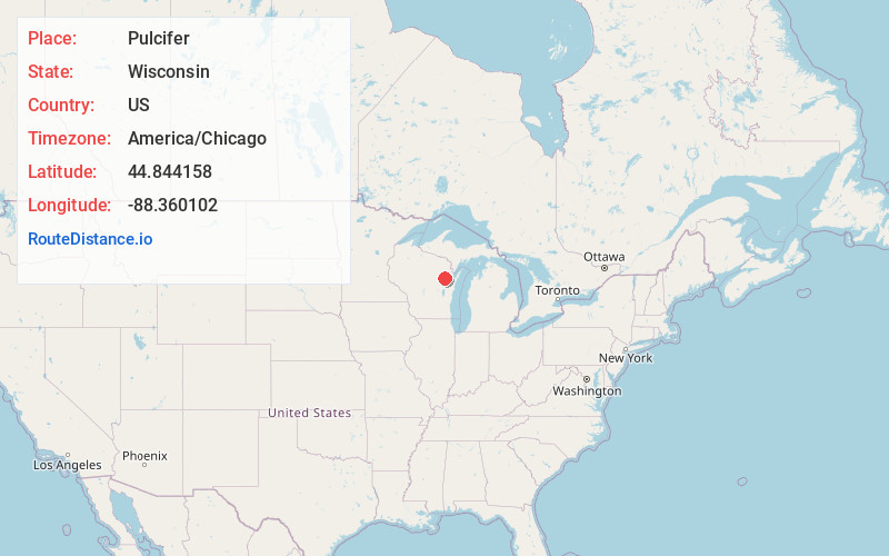
Full AddressPulcifer, WI
-
Coordinates44.8441578, -88.360102
-
LocationPulcifer , Wisconsin , US
-
TimezoneAmerica/Chicago
-
Current Local Time3:00:53 PM America/ChicagoWednesday, May 28, 2025
-
Page Views0
About Pulcifer
Pulcifer is an unincorporated census-designated place in the town of Green Valley, Shawano County, Wisconsin, United States. Pulcifer is located on the Oconto River and Wisconsin Highway 22 5 miles northeast of Cecil. As of the 2010 census, its population is 134.
Nearby Places
Found 10 places within 50 miles

Gillett
4.1 mi
6.6 km
Gillett, WI 54124
Get directions

Cecil
5.1 mi
8.2 km
Cecil, WI
Get directions

Krakow
7.7 mi
12.4 km
Krakow, WI 54137
Get directions

Bonduel
8.3 mi
13.4 km
Bonduel, WI 54107
Get directions

Suring
10.7 mi
17.2 km
Suring, WI
Get directions

Oconto Falls
10.8 mi
17.4 km
Oconto Falls, WI 54154
Get directions

Legend Lake
11.2 mi
18.0 km
Legend Lake, WI
Get directions
Pulaski
13.2 mi
21.2 km
Pulaski, WI 54162
Get directions

Keshena
13.7 mi
22.0 km
Keshena, WI
Get directions

Abrams
15.4 mi
24.8 km
Abrams, WI 54101
Get directions
Location Links
Local Weather
Weather Information
Coming soon!
Location Map
Static map view of Pulcifer, Wisconsin
Browse Places by Distance
Places within specific distances from Pulcifer
Short Distances
Long Distances
Click any distance to see all places within that range from Pulcifer. Distances shown in miles (1 mile ≈ 1.61 kilometers).