Distance to Pullers Corner, Virginia

Calculating Your Route
Just a moment while we process your request...
Location Information
-
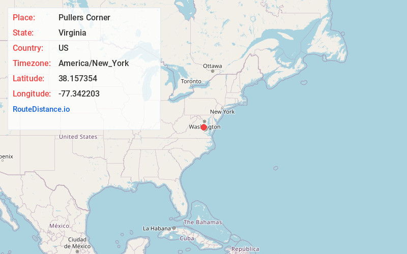
Full AddressPullers Corner, VA 22408
-
Coordinates38.1573536, -77.3422032
-
LocationVirginia , US
-
TimezoneAmerica/New_York
-
Current Local Time5:05:58 AM America/New_YorkTuesday, July 1, 2025
-
Page Views0
Nearby Places
Found 10 places within 50 miles

Mica
1.4 mi
2.3 km
Mica, VA 22580
Get directions
Stuart Corner
1.5 mi
2.4 km
Stuart Corner, VA 22538
Get directions
Corbin
3.9 mi
6.3 km
Corbin, VA 22580
Get directions
Daltons
4.5 mi
7.2 km
Daltons, VA 22580
Get directions
Acors Corner
4.7 mi
7.6 km
Acors Corner, VA 22427
Get directions

Woodford
4.7 mi
7.6 km
Woodford, VA 22580
Get directions
Moss Neck
5.0 mi
8.0 km
Moss Neck, VA 22408
Get directions
Lent
5.4 mi
8.7 km
Lent, VA 22535
Get directions
Raymonds Fork
5.6 mi
9.0 km
Raymonds Fork, VA 22427
Get directions
Delos
5.7 mi
9.2 km
Delos, VA 22427
Get directions
Location Links
Local Weather
Weather Information
Coming soon!
Location Map
Static map view of Pullers Corner, Virginia
Browse Places by Distance
Places within specific distances from Pullers Corner
Short Distances
Long Distances
Click any distance to see all places within that range from Pullers Corner. Distances shown in miles (1 mile ≈ 1.61 kilometers).