Distance to Pulleys Mill, Illinois

Calculating Your Route
Just a moment while we process your request...
Location Information
-
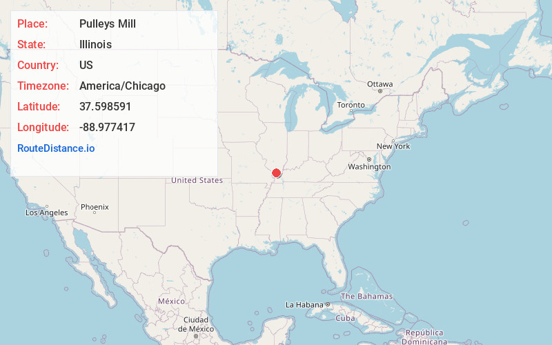
Full AddressPulleys Mill, IL 62939
-
Coordinates37.598591, -88.977417
-
LocationPulleys Mill , Illinois , US
-
TimezoneAmerica/Chicago
-
Current Local Time3:56:30 PM America/ChicagoTuesday, May 20, 2025
-
Page Views0
About Pulleys Mill
Pulleys Mill is an unincorporated community in Williamson County, Illinois. It is generally located north of Goreville, near the western terminus of Interstate 24 at Interstate 57.
The area was named after Barton S. Pulley, and had a post office from October 28, 1864, to July 14, 1905.
Nearby Places
Found 10 places within 50 miles

Neilson
2.4 mi
3.9 km
Neilson, Southern Precinct, IL 62959
Get directions

Eagle Point Bay
2.7 mi
4.3 km
Eagle Point Bay, IL 62939
Get directions

Goreville
3.1 mi
5.0 km
Goreville, IL
Get directions
Lake Crest
3.3 mi
5.3 km
Lake Crest, IL 62922
Get directions

Southern Precinct
4.1 mi
6.6 km
Southern Precinct, IL
Get directions
Hudgens
4.4 mi
7.1 km
Hudgens, Southern Precinct, IL 62959
Get directions
Wolf Creek
4.6 mi
7.4 km
Wolf Creek, IL 62902
Get directions
Egyptian Hills
5.0 mi
8.0 km
Egyptian Hills, IL 62922
Get directions
Omar
6.7 mi
10.8 km
Omar, Elvira Precinct, IL 62912
Get directions
Lick Creek
7.5 mi
12.1 km
Lick Creek, IL 62912
Get directions
Location Links
Local Weather
Weather Information
Coming soon!
Location Map
Static map view of Pulleys Mill, Illinois
Browse Places by Distance
Places within specific distances from Pulleys Mill
Short Distances
Long Distances
Click any distance to see all places within that range from Pulleys Mill. Distances shown in miles (1 mile ≈ 1.61 kilometers).