Distance to Pullontown, Virginia

Calculating Your Route
Just a moment while we process your request...
Location Information
-
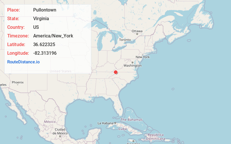
Full AddressPullontown, VA 24202
-
Coordinates36.6223253, -82.3131957
-
LocationVirginia , US
-
TimezoneAmerica/New_York
-
Current Local Time10:39:20 AM America/New_YorkWednesday, June 25, 2025
-
Page Views0
Nearby Places
Found 10 places within 50 miles

Shelleys
1.7 mi
2.7 km
Shelleys, VA 24202
Get directions
Ketron
1.9 mi
3.1 km
Ketron, VA 24202
Get directions
Leonardtown
3.0 mi
4.8 km
Leonardtown, TN 37620
Get directions
Three Springs
3.9 mi
6.3 km
Three Springs, VA 24202
Get directions
Beechnut City
4.0 mi
6.4 km
Beechnut City, TN 37617
Get directions
Lime Hill
4.1 mi
6.6 km
Lime Hill, VA 24202
Get directions
Cross
4.5 mi
7.2 km
Cross, Walnut Hill, TN 37620
Get directions
Phillip
4.6 mi
7.4 km
Phillip, VA 24202
Get directions
Oakview
4.7 mi
7.6 km
Oakview, TN 37617
Get directions
Walnut Hill
4.8 mi
7.7 km
Walnut Hill, TN 37620
Get directions
Location Links
Local Weather
Weather Information
Coming soon!
Location Map
Static map view of Pullontown, Virginia
Browse Places by Distance
Places within specific distances from Pullontown
Short Distances
Long Distances
Click any distance to see all places within that range from Pullontown. Distances shown in miles (1 mile ≈ 1.61 kilometers).