Distance to Pulpotio Bareas, New Mexico

Calculating Your Route
Just a moment while we process your request...
Location Information
-
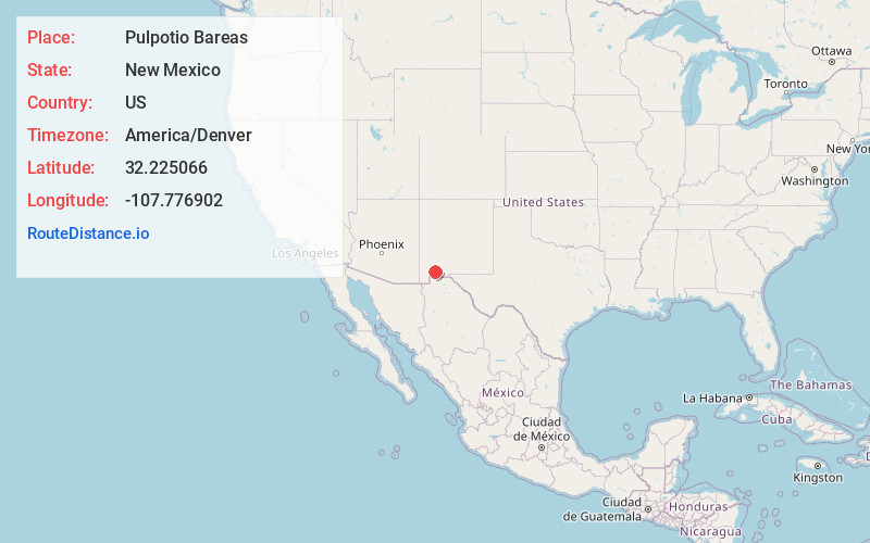
Full AddressPulpotio Bareas, NM 88030
-
Coordinates32.225066, -107.7769021
-
LocationPulpotio Bareas , New Mexico , US
-
TimezoneAmerica/Denver
-
Current Local Time3:59:15 PM America/DenverThursday, May 29, 2025
-
Page Views0
About Pulpotio Bareas
Pulpotio Bareas is a census-designated place in Luna County, New Mexico, United States. Its population was 120 as of the 2010 census.
Nearby Places
Found 10 places within 50 miles

Deming
3.2 mi
5.1 km
Deming, NM 88030
Get directions

La Hacienda
3.3 mi
5.3 km
La Hacienda, NM 88030
Get directions
Ventura
5.5 mi
8.9 km
Ventura, NM 88030
Get directions
Keeler Farm
5.9 mi
9.5 km
Keeler Farm, NM 88030
Get directions
Sunshine
6.2 mi
10.0 km
Sunshine, NM 88030
Get directions
Pecan Park
6.8 mi
10.9 km
Pecan Park, NM 88030
Get directions

Columbus
28.6 mi
46.0 km
Columbus, NM
Get directions
Lake Valley
36.2 mi
58.3 km
Lake Valley, NM 88042
Get directions

White Signal
41.2 mi
66.3 km
White Signal, NM 88061
Get directions

San Lorenzo
41.3 mi
66.5 km
San Lorenzo, NM 88041
Get directions
Location Links
Local Weather
Weather Information
Coming soon!
Location Map
Static map view of Pulpotio Bareas, New Mexico
Browse Places by Distance
Places within specific distances from Pulpotio Bareas
Short Distances
Long Distances
Click any distance to see all places within that range from Pulpotio Bareas. Distances shown in miles (1 mile ≈ 1.61 kilometers).