Distance to Punkin Center, Louisiana

Calculating Your Route
Just a moment while we process your request...
Location Information
-
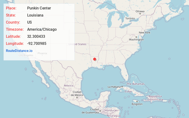
Full AddressPunkin Center, LA 71268
-
Coordinates32.3004326, -92.7009849
-
LocationLouisiana , US
-
TimezoneAmerica/Chicago
-
Current Local Time6:27:25 PM America/ChicagoTuesday, May 20, 2025
-
Page Views0
Nearby Places
Found 10 places within 50 miles

North Hodge
1.5 mi
2.4 km
North Hodge, LA
Get directions
East Hodge
1.7 mi
2.7 km
East Hodge, LA
Get directions
Hodge
2.5 mi
4.0 km
Hodge, LA
Get directions
Hilltop
2.8 mi
4.5 km
Hilltop, LA 71268
Get directions
Beech Springs
3.2 mi
5.1 km
Beech Springs, LA 71268
Get directions
Lakefield
3.5 mi
5.6 km
Lakefield, LA 71251
Get directions
Quitman
3.5 mi
5.6 km
Quitman, LA 71268
Get directions

Jonesboro
4.2 mi
6.8 km
Jonesboro, LA 71251
Get directions
Mt Olive
6.4 mi
10.3 km
Mt Olive, LA 71268
Get directions
Weston
6.4 mi
10.3 km
Weston, LA 71251
Get directions
Location Links
Local Weather
Weather Information
Coming soon!
Location Map
Static map view of Punkin Center, Louisiana
Browse Places by Distance
Places within specific distances from Punkin Center
Short Distances
Long Distances
Click any distance to see all places within that range from Punkin Center. Distances shown in miles (1 mile ≈ 1.61 kilometers).