Distance to Puposky, Minnesota

Calculating Your Route
Just a moment while we process your request...
Location Information
-
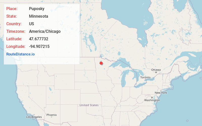
Full AddressPuposky, MN 56601
-
Coordinates47.6777323, -94.9072151
-
LocationPuposky , Minnesota , US
-
TimezoneAmerica/Chicago
-
Current Local Time11:56:05 AM America/ChicagoTuesday, June 3, 2025
-
Page Views0
About Puposky
Puposky is an unincorporated community in Durand Township, Beltrami County, Minnesota, United States. It lies at 47.68°N 94.91°W.
Puposky was officially founded on September 26, 1905. The railroad was coming through, and a Post Office also started that same year.
Nearby Places
Found 10 places within 50 miles

Werner
4.3 mi
6.9 km
Werner, MN 56601
Get directions

Turtle River
9.6 mi
15.4 km
Turtle River, MN 56601
Get directions
Aure
9.9 mi
15.9 km
Aure, MN 56676
Get directions

Tenstrike
10.9 mi
17.5 km
Tenstrike, MN
Get directions
Pinewood
11.7 mi
18.8 km
Pinewood, MN 56676
Get directions
Lavinia
12.1 mi
19.5 km
Lavinia, MN 56601
Get directions

Wilton
12.8 mi
20.6 km
Wilton, MN 56601
Get directions

Redby
13.9 mi
22.4 km
Redby, MN
Get directions

Bemidji
14.3 mi
23.0 km
Bemidji, MN 56601
Get directions

Red Lake
14.6 mi
23.5 km
Red Lake, MN
Get directions
Location Links
Local Weather
Weather Information
Coming soon!
Location Map
Static map view of Puposky, Minnesota
Browse Places by Distance
Places within specific distances from Puposky
Short Distances
Long Distances
Click any distance to see all places within that range from Puposky. Distances shown in miles (1 mile ≈ 1.61 kilometers).