Distance to Purnell, North Carolina

Calculating Your Route
Just a moment while we process your request...
Location Information
-
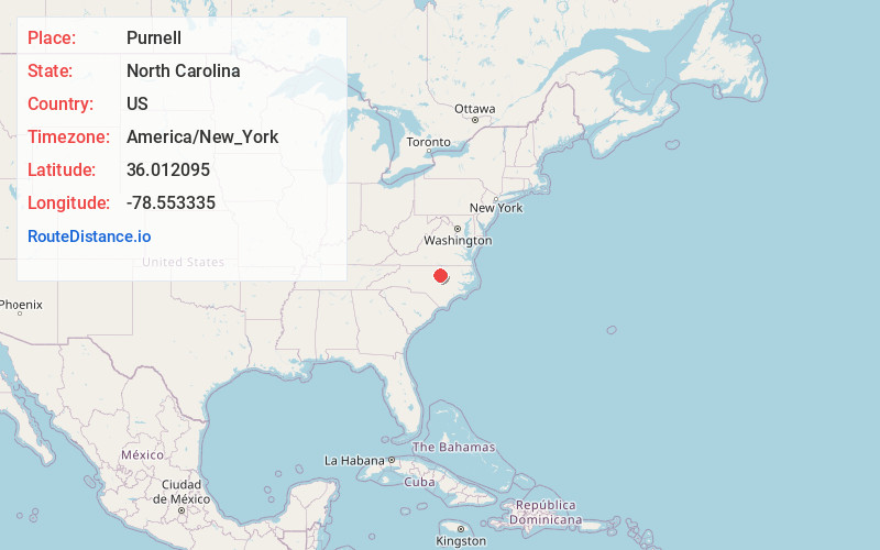
Full AddressPurnell, NC 27587
-
Coordinates36.0120945, -78.5533346
-
LocationNorth Carolina , US
-
TimezoneAmerica/New_York
-
Current Local Time2:36:15 AM America/New_YorkWednesday, June 18, 2025
-
Page Views0
About Purnell
Purnell is an unincorporated community in Wake County, North Carolina, United States, located 4 mi northwest of Wake Forest.
Purnell and Bud Smith Roads are at the center of the community.
Nearby neighborhoods are Kensington Manor, Crenshaw Manor, Galloway, and Hillcrest Farms.
Nearby Places
Found 10 places within 50 miles

New Light Creek
2.8 mi
4.5 km
New Light Creek, North Carolina
Get directions

Wake Forest
3.3 mi
5.3 km
Wake Forest, NC
Get directions
Stony Hill
3.9 mi
6.3 km
Stony Hill, NC 27587
Get directions

Youngsville
4.5 mi
7.2 km
Youngsville, NC 27596
Get directions
Grissom
4.7 mi
7.6 km
Grissom, NC 27522
Get directions
Pocomoke
4.8 mi
7.7 km
Pocomoke, NC 27525
Get directions
Mays Crossroads
6.3 mi
10.1 km
Mays Crossroads, NC 27596
Get directions
Bayleaf
6.9 mi
11.1 km
Bayleaf, NC 27614
Get directions

Rolesville
8.2 mi
13.2 km
Rolesville, NC
Get directions

Franklinton
8.2 mi
13.2 km
Franklinton, NC 27525
Get directions
Location Links
Local Weather
Weather Information
Coming soon!
Location Map
Static map view of Purnell, North Carolina
Browse Places by Distance
Places within specific distances from Purnell
Short Distances
Long Distances
Click any distance to see all places within that range from Purnell. Distances shown in miles (1 mile ≈ 1.61 kilometers).