Distance to Pushmataha, Alabama

Calculating Your Route
Just a moment while we process your request...
Location Information
-
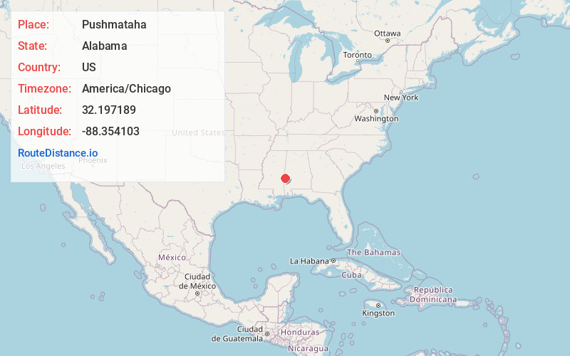
Full AddressPushmataha, AL 36912
-
Coordinates32.197189, -88.354103
-
LocationPushmataha , Alabama , US
-
TimezoneAmerica/Chicago
-
Current Local Time10:35:31 AM America/ChicagoWednesday, June 4, 2025
-
Page Views0
About Pushmataha
Pushmataha District was one of three provinces, or districts, comprising the former Choctaw Nation in the Indian Territory. Also called the Third District, it encompassed the southwestern one-third of the nation.
Nearby Places
Found 10 places within 50 miles

Lisman
4.6 mi
7.4 km
Lisman, AL 36912
Get directions
Mollie
5.7 mi
9.2 km
Mollie, AL 36912
Get directions

Butler
10.7 mi
17.2 km
Butler, AL 36904
Get directions
Needham
14.5 mi
23.3 km
Needham, AL
Get directions
Middleton
15.3 mi
24.6 km
Middleton, MS 39355
Get directions

Cuba
16.0 mi
25.7 km
Cuba, AL 36907
Get directions
Pennington
17.4 mi
28.0 km
Pennington, AL 36916
Get directions

Toomsuba
17.7 mi
28.5 km
Toomsuba, MS 39364
Get directions
Threadville
17.9 mi
28.8 km
Threadville, MS 39355
Get directions
Hodgewood
18.2 mi
29.3 km
Hodgewood, AL 36921
Get directions
Location Links
Local Weather
Weather Information
Coming soon!
Location Map
Static map view of Pushmataha, Alabama
Browse Places by Distance
Places within specific distances from Pushmataha
Short Distances
Long Distances
Click any distance to see all places within that range from Pushmataha. Distances shown in miles (1 mile ≈ 1.61 kilometers).