Distance to Quail Meadows, California

Calculating Your Route
Just a moment while we process your request...
Location Information
-
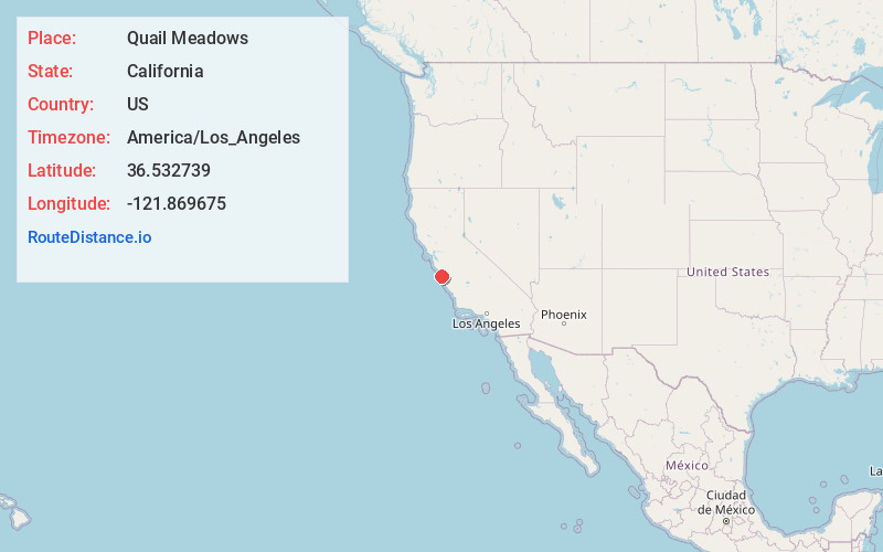
Full AddressQuail Meadows, CA 93923
-
Coordinates36.532739, -121.8696747
-
LocationQuail Meadows , California , US
-
TimezoneAmerica/Los_Angeles
-
Current Local Time7:18:32 PM America/Los_AngelesSunday, May 25, 2025
-
Page Views0
Nearby Places
Found 10 places within 50 miles

Hacienda Carmel
0.6 mi
1.0 km
Hacienda Carmel, CA 93923
Get directions

Carmel Highlands
4.0 mi
6.4 km
Carmel Highlands, CA 93923
Get directions

Cypress Grove
4.6 mi
7.4 km
Cypress Grove, California 93923
Get directions

Del Rey Oaks
4.6 mi
7.4 km
Del Rey Oaks, CA 93940
Get directions

Monterey
4.7 mi
7.6 km
Monterey, CA
Get directions

Sand City
6.0 mi
9.7 km
Sand City, CA
Get directions

Seaside
6.3 mi
10.1 km
Seaside, CA
Get directions

Pacific Grove
6.4 mi
10.3 km
Pacific Grove, CA
Get directions
Corral De Tierra
8.0 mi
12.9 km
Corral De Tierra, CA 93908
Get directions

Carmel Valley
8.4 mi
13.5 km
Carmel Valley, CA 93924
Get directions
Location Links
Local Weather
Weather Information
Coming soon!
Location Map
Static map view of Quail Meadows, California
Browse Places by Distance
Places within specific distances from Quail Meadows
Short Distances
Long Distances
Click any distance to see all places within that range from Quail Meadows. Distances shown in miles (1 mile ≈ 1.61 kilometers).