Distance to Quebeck, Tennessee

Calculating Your Route
Just a moment while we process your request...
Location Information
-
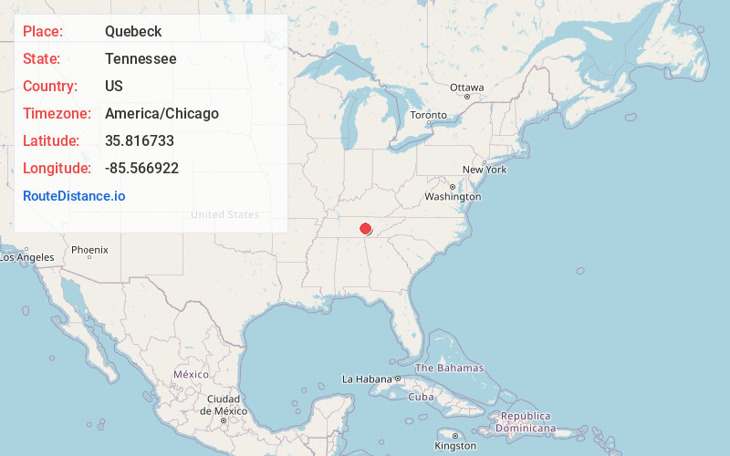
Full AddressQuebeck, TN 38579
-
Coordinates35.8167333, -85.5669223
-
LocationQuebeck , Tennessee , US
-
TimezoneAmerica/Chicago
-
Current Local Time11:48:32 AM America/ChicagoSaturday, June 7, 2025
-
Page Views0
About Quebeck
Quebeck is an unincorporated community in White County, Tennessee, United States. It is located just off U.S. Route 70, southwest of Doyle and northeast of Rock Island, and roughly adjacent to Walling. Quebeck had a post office with ZIP code 38579.
The community was founded in the late 1880s by J.S.
Nearby Places
Found 10 places within 50 miles

Bone Cave
3.1 mi
5.0 km
Bone Cave, TN 38581
Get directions

Sparkman
3.1 mi
5.0 km
Sparkman, TN 38559
Get directions

Doyle
4.0 mi
6.4 km
Doyle, TN
Get directions

Spencer
7.4 mi
11.9 km
Spencer, TN 38585
Get directions
Belk
7.6 mi
12.2 km
Belk, TN 37166
Get directions
Pine Grove
9.3 mi
15.0 km
Pine Grove, TN 38585
Get directions

Sparta
9.5 mi
15.3 km
Sparta, TN 38583
Get directions
Old Zion
10.8 mi
17.4 km
Old Zion, TN 38583
Get directions
Dodson
10.9 mi
17.5 km
Dodson, TN 38583
Get directions
Bluff Springs
10.9 mi
17.5 km
Bluff Springs, TN 37166
Get directions
Location Links
Local Weather
Weather Information
Coming soon!
Location Map
Static map view of Quebeck, Tennessee
Browse Places by Distance
Places within specific distances from Quebeck
Short Distances
Long Distances
Click any distance to see all places within that range from Quebeck. Distances shown in miles (1 mile ≈ 1.61 kilometers).