Distance to Quepos, Puntarenas Province

Calculating Your Route
Just a moment while we process your request...
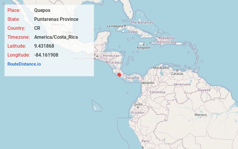
Location Information
-
Full AddressPuntarenas Province, Quepos, Costa Rica
-
Coordinates9.4318681, -84.1619076
-
LocationQuepos , Puntarenas Province , CR
-
TimezoneAmerica/Costa_Rica
-
Current Local Time2:12:59 AM America/Costa_RicaSunday, June 15, 2025
-
Page Views0
About Quepos
Quepos is a town on Costa Rica’s central Pacific coast. It’s known as a gateway to Manuel Antonio National Park. The park’s mangroves, lagoons and beach-lined rainforests shelter howler, white-faced and squirrel monkeys. Nearby sandy stretches include Playa Espadilla and Playa Biesanz. Northwest of town, the Damas Island mangrove estuary is home to wildlife including caimans, snakes and iguanas.


Nearby Places
Found 5 places within 50 miles

Manuel Antonio
1.6 mi
2.6 km
Manuel Antonio, Puntarenas Province, Quepos, Costa Rica
Get directions

Manuel Antonio National Park
3.2 mi
5.1 km
Manuel Antonio National Park, Puntarenas Province, Quepos, Costa Rica
Get directions

Jaco Beach
34.2 mi
55.0 km
Jaco Beach, Puntarenas Province, Costa Rica
Get directions

San José
34.6 mi
55.7 km
San José Province, San José, Costa Rica
Get directions

Costa Rica
35.4 mi
57.0 km
Costa Rica
Get directions
Location Links
Local Weather
Weather Information
Coming soon!
Location Map
Static map view of Quepos, Puntarenas Province
Browse Places by Distance
Places within specific distances from Quepos
Short Distances
Long Distances
Click any distance to see all places within that range from Quepos. Distances shown in miles (1 mile ≈ 1.61 kilometers).