Distance to Quinton, Virginia

Calculating Your Route
Just a moment while we process your request...
Location Information
-
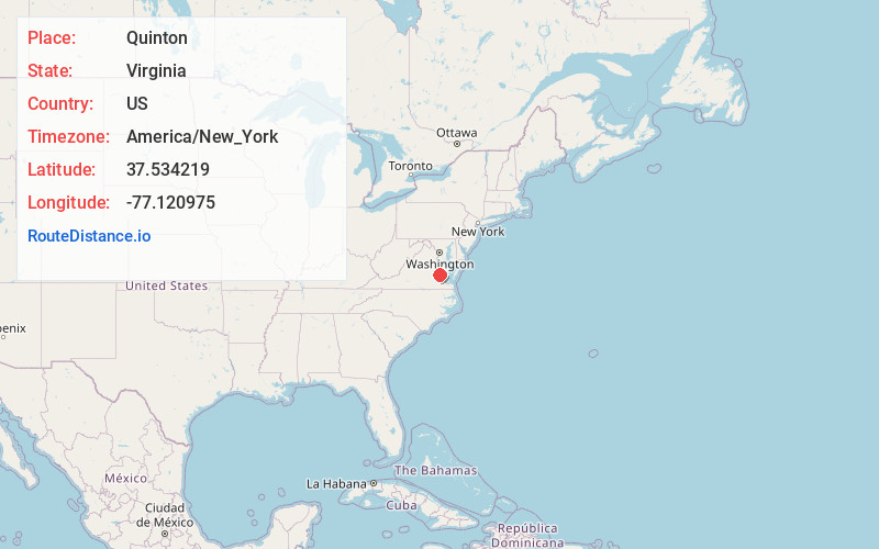
Full AddressQuinton, VA
-
Coordinates37.5342187, -77.1209752
-
LocationQuinton , Virginia , US
-
TimezoneAmerica/New_York
-
Current Local Time8:42:50 PM America/New_YorkFriday, June 27, 2025
-
Page Views0
About Quinton
Quinton is a small unincorporated community in New Kent County, Virginia, United States. It is located on State Route 249 in the western portion of the county.
Crump's Mill and Millpond and New Kent High School and George W. Watkins High School are listed on the National Register of Historic Places.

Nearby Places
Found 10 places within 50 miles

Woodhaven Shores
3.0 mi
4.8 km
Woodhaven Shores, VA 23141
Get directions
Orapax Farms
4.6 mi
7.4 km
Orapax Farms, VA 23141
Get directions
Ednas Mill
5.4 mi
8.7 km
Ednas Mill, VA 23140
Get directions
Westwood
5.6 mi
9.0 km
Westwood, VA 23111
Get directions
Bradley Acres
6.2 mi
10.0 km
Bradley Acres, VA 23150
Get directions
Elko
6.5 mi
10.5 km
Elko, VA 23150
Get directions
Chericoke
7.0 mi
11.3 km
Chericoke, VA 23086
Get directions
New Kent
7.6 mi
12.2 km
New Kent, VA 23124
Get directions

Providence Forge
7.7 mi
12.4 km
Providence Forge, VA 23140
Get directions
Barkers Mill
7.7 mi
12.4 km
Barkers Mill, VA 23111
Get directions
Location Links
Local Weather
Weather Information
Coming soon!
Location Map
Static map view of Quinton, Virginia
Browse Places by Distance
Places within specific distances from Quinton
Short Distances
Long Distances
Click any distance to see all places within that range from Quinton. Distances shown in miles (1 mile ≈ 1.61 kilometers).