Distance to Raber, Indiana

Calculating Your Route
Just a moment while we process your request...
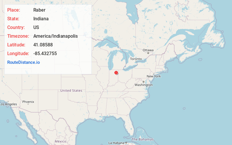
Location Information
-
Full AddressRaber, IN 46725
-
Coordinates41.0858799, -85.432755
-
LocationRaber , Indiana , US
-
TimezoneAmerica/Indianapolis
-
Page Views0
About Raber
Raber is an unincorporated community in Jefferson Township, Whitley County, in the U.S. state of Indiana.
Nearby Places
Found 10 places within 50 miles

Coesse
3.5 mi
5.6 km
Coesse, IN 46725
Get directions
Dunfee
5.0 mi
8.0 km
Dunfee, Jefferson Township, IN 46818
Get directions

Columbia City
5.7 mi
9.2 km
Columbia City, IN 46725
Get directions
Tunker
7.0 mi
11.3 km
Tunker, IN 46787
Get directions
Arcola
7.3 mi
11.7 km
Arcola, IN
Get directions
Timbercrest
7.8 mi
12.6 km
Timbercrest, Aboite Township, IN 46814
Get directions

Goblesville
7.9 mi
12.7 km
Goblesville, IN 46750
Get directions
Ellisville
9.0 mi
14.5 km
Ellisville, Fort Wayne, IN 46804
Get directions

Roanoke
9.1 mi
14.6 km
Roanoke, IN 46783
Get directions
Liberty Hills
9.4 mi
15.1 km
Liberty Hills, Fort Wayne, IN 46804
Get directions
Location Links
Local Weather
Weather Information
Coming soon!
Location Map
Static map view of Raber, Indiana
Browse Places by Distance
Places within specific distances from Raber
Short Distances
Long Distances
Click any distance to see all places within that range from Raber. Distances shown in miles (1 mile ≈ 1.61 kilometers).