Distance to Rackettown, Virginia

Calculating Your Route
Just a moment while we process your request...
Location Information
-
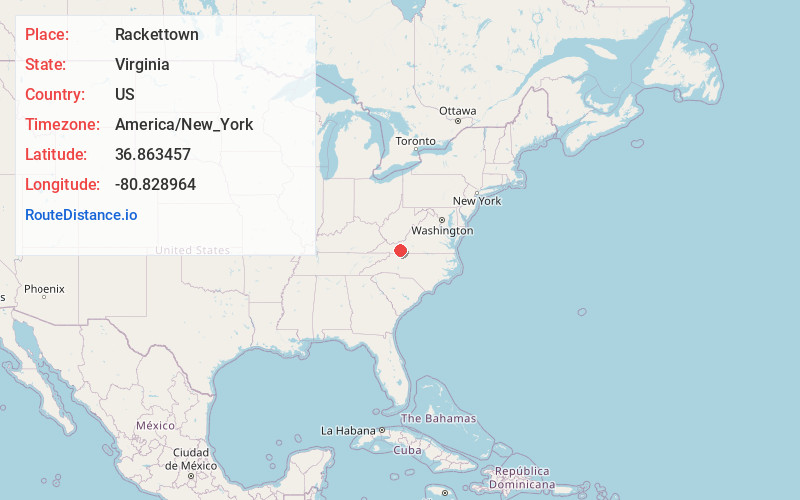
Full AddressRackettown, VA 24360
-
Coordinates36.8634569, -80.828964
-
LocationVirginia , US
-
TimezoneAmerica/New_York
-
Current Local Time1:03:17 PM America/New_YorkMonday, June 23, 2025
-
Page Views0
About Rackettown
Rackettown is an unincorporated community in Wythe County, Virginia, United States. Rackettown is 15.3 miles east-southeast of Wytheville.
Nearby Places
Found 10 places within 50 miles

Fosters Falls
1.9 mi
3.1 km
Fosters Falls, VA 24360
Get directions
Shorts Creek
1.9 mi
3.1 km
Shorts Creek, VA 24312
Get directions
Bertha
2.7 mi
4.3 km
Bertha, VA 24313
Get directions
Flatwood
3.3 mi
5.3 km
Flatwood, VA 24312
Get directions
Jett
3.3 mi
5.3 km
Jett, VA 24313
Get directions
High Rocks Mill
3.3 mi
5.3 km
High Rocks Mill, VA 24360
Get directions

Barren Springs
3.5 mi
5.6 km
Barren Springs, VA 24313
Get directions
Sylvatus
3.6 mi
5.8 km
Sylvatus, VA 24343
Get directions

Lone Ash
3.9 mi
6.3 km
Lone Ash, VA 24313
Get directions
Early
4.4 mi
7.1 km
Early, VA 24343
Get directions
Location Links
Local Weather
Weather Information
Coming soon!
Location Map
Static map view of Rackettown, Virginia
Browse Places by Distance
Places within specific distances from Rackettown
Short Distances
Long Distances
Click any distance to see all places within that range from Rackettown. Distances shown in miles (1 mile ≈ 1.61 kilometers).