Distance to Radford, Virginia

Calculating Your Route
Just a moment while we process your request...
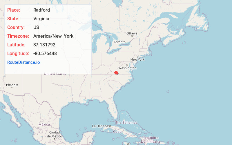
Location Information
-
Full AddressRadford, VA
-
Coordinates37.1317924, -80.5764477
-
LocationRadford , Virginia , US
-
TimezoneAmerica/New_York
-
Current Local Time9:30:04 PM America/New_YorkFriday, June 6, 2025
-
Page Views0
About Radford
Radford is an independent city in the U.S. state of Virginia. As of 2020, the population was 16,070 by the United States Census Bureau. For statistical purposes, the Bureau of Economic Analysis combines the city of Radford with neighboring Montgomery County.


Nearby Places
Found 7 places within 50 miles

Christiansburg
9.2 mi
14.8 km
Christiansburg, VA 24073
Get directions

Blacksburg
11.2 mi
18.0 km
Blacksburg, VA
Get directions

Salem
30.8 mi
49.6 km
Salem, VA 24153
Get directions

Woodlawn
31.4 mi
50.5 km
Woodlawn, VA
Get directions

Cave Spring
31.7 mi
51.0 km
Cave Spring, VA 24018
Get directions

Roanoke
36.1 mi
58.1 km
Roanoke, VA
Get directions

Hollins
37.7 mi
60.7 km
Hollins, VA
Get directions
Location Links
Local Weather
Weather Information
Coming soon!
Location Map
Static map view of Radford, Virginia
Browse Places by Distance
Places within specific distances from Radford
Short Distances
Long Distances
Click any distance to see all places within that range from Radford. Distances shown in miles (1 mile ≈ 1.61 kilometers).