Distance to Railroad, Pennsylvania

Calculating Your Route
Just a moment while we process your request...
Location Information
-
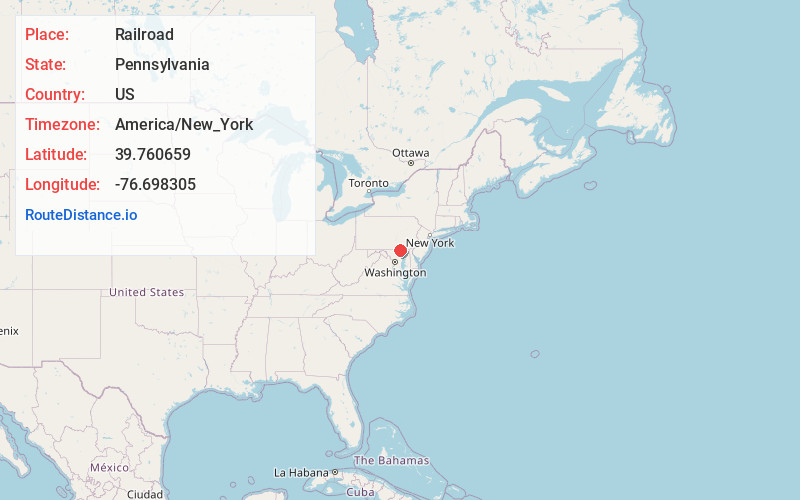
Full AddressRailroad, PA
-
Coordinates39.7606585, -76.6983049
-
LocationRailroad , Pennsylvania , US
-
TimezoneAmerica/New_York
-
Current Local Time5:43:04 AM America/New_YorkWednesday, June 25, 2025
-
Page Views0
About Railroad
Railroad is a borough in York County, Pennsylvania, United States. The population was 259 at the 2020 census. It is part of the York–Hanover metropolitan area.


Nearby Places
Found 10 places within 50 miles

Shrewsbury
1.1 mi
1.8 km
Shrewsbury, PA
Get directions

New Freedom
1.6 mi
2.6 km
New Freedom, PA 17349
Get directions

Glen Rock
2.8 mi
4.5 km
Glen Rock, PA 17327
Get directions

North Hopewell Township
5.5 mi
8.9 km
North Hopewell Township, PA
Get directions

Stewartstown
5.7 mi
9.2 km
Stewartstown, PA 17363
Get directions

Loganville
6.6 mi
10.6 km
Loganville, PA
Get directions
Winterstown
6.7 mi
10.8 km
Winterstown, PA
Get directions

Seven Valleys
7.6 mi
12.2 km
Seven Valleys, PA
Get directions
Cross Roads
7.6 mi
12.2 km
Cross Roads, PA
Get directions
Jacobus
8.5 mi
13.7 km
Jacobus, PA
Get directions
Location Links
Local Weather
Weather Information
Coming soon!
Location Map
Static map view of Railroad, Pennsylvania
Browse Places by Distance
Places within specific distances from Railroad
Short Distances
Long Distances
Click any distance to see all places within that range from Railroad. Distances shown in miles (1 mile ≈ 1.61 kilometers).