Distance to Rainbow Falls, South Carolina

Calculating Your Route
Just a moment while we process your request...
Location Information
-
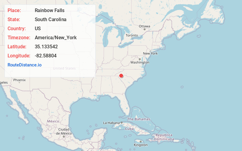
Full AddressRainbow Falls, South Carolina 29635
-
Coordinates35.1335422, -82.5880402
-
LocationSouth Carolina , US
-
TimezoneAmerica/New_York
-
Current Local Time7:22:17 PM America/New_YorkFriday, June 20, 2025
-
Page Views0


Nearby Places
Found 10 places within 50 miles

Seeshore
6.7 mi
10.8 km
Seeshore, NC 28712
Get directions
Happy Acres
6.7 mi
10.8 km
Happy Acres, NC 28712
Get directions
Mountain Valley
8.1 mi
13.0 km
Mountain Valley, NC 28790
Get directions

Slater-Marietta
8.8 mi
14.2 km
Slater-Marietta, SC 29661
Get directions
Piney Woods
10.5 mi
16.9 km
Piney Woods, NC 28712
Get directions

Brevard
10.8 mi
17.4 km
Brevard, NC
Get directions
Chestnut Springs
10.8 mi
17.4 km
Chestnut Springs, SC 29690
Get directions
Sega Lake
11.5 mi
18.5 km
Sega Lake, NC 28712
Get directions
Selica
11.7 mi
18.8 km
Selica, NC 28712
Get directions
Blantyre
11.7 mi
18.8 km
Blantyre, NC 28768
Get directions
Location Links
Local Weather
Weather Information
Coming soon!
Location Map
Static map view of Rainbow Falls, South Carolina
Browse Places by Distance
Places within specific distances from Rainbow Falls
Short Distances
Long Distances
Click any distance to see all places within that range from Rainbow Falls. Distances shown in miles (1 mile ≈ 1.61 kilometers).