Distance to Ralph, South Dakota

Calculating Your Route
Just a moment while we process your request...
Location Information
-
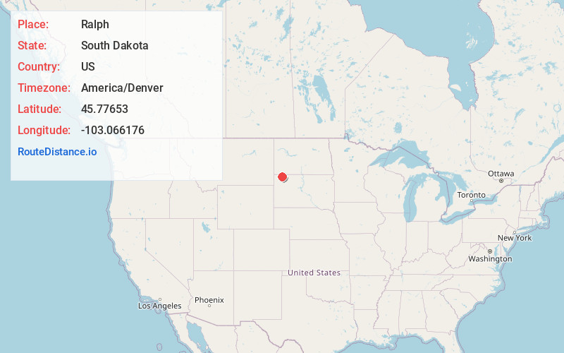
Full AddressRalph, SD 57649
-
Coordinates45.7765301, -103.0661759
-
LocationRalph , South Dakota , US
-
TimezoneAmerica/Denver
-
Current Local Time2:47:16 AM America/DenverMonday, June 2, 2025
-
Page Views0
About Ralph
Ralph is an unincorporated community in Harding County, South Dakota, United States. Although not tracked by the Census Bureau, nor yet visited by Google Maps, Ralph has been assigned the ZIP code of 57650.
The community was named for James Ralph Howard, the original owner of the town site.
Nearby Places
Found 10 places within 50 miles

Reva
16.0 mi
25.7 km
Reva, SD 57651
Get directions

Prairie City
21.1 mi
34.0 km
Prairie City, SD 57649
Get directions
Strool
22.9 mi
36.9 km
Strool, SD 57649
Get directions

Reeder
23.5 mi
37.8 km
Reeder, ND 58649
Get directions

Gascoyne
23.6 mi
38.0 km
Gascoyne, ND 58653
Get directions
Bucyrus
23.9 mi
38.5 km
Bucyrus, ND 58639
Get directions

Hettinger
25.8 mi
41.5 km
Hettinger, ND 58639
Get directions

Scranton
25.9 mi
41.7 km
Scranton, ND 58653
Get directions

Buffalo
26.7 mi
43.0 km
Buffalo, SD 57720
Get directions
Buffalo Springs
28.7 mi
46.2 km
Buffalo Springs, ND 58623
Get directions
Location Links
Local Weather
Weather Information
Coming soon!
Location Map
Static map view of Ralph, South Dakota
Browse Places by Distance
Places within specific distances from Ralph
Short Distances
Long Distances
Click any distance to see all places within that range from Ralph. Distances shown in miles (1 mile ≈ 1.61 kilometers).