Distance to Ramey, Pennsylvania

Calculating Your Route
Just a moment while we process your request...
Location Information
-
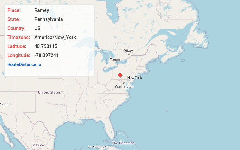
Full AddressRamey, PA
-
Coordinates40.7981154, -78.3972413
-
LocationRamey , Pennsylvania , US
-
TimezoneAmerica/New_York
-
Current Local Time12:17:44 PM America/New_YorkWednesday, July 2, 2025
-
Page Views0
About Ramey
Ramey is a borough in Clearfield County, Pennsylvania, United States. The population was 436 at the 2020 census.
Nearby Places
Found 10 places within 50 miles

Houtzdale
3.0 mi
4.8 km
Houtzdale, PA 16651
Get directions

Osceola Mills
7.5 mi
12.1 km
Osceola Mills, PA 16666
Get directions

Coalport
8.0 mi
12.9 km
Coalport, PA 16627
Get directions

Irvona
8.3 mi
13.4 km
Irvona, PA 16656
Get directions
Boggs Township
10.7 mi
17.2 km
Boggs Township, PA
Get directions
Chester Hill
10.9 mi
17.5 km
Chester Hill, PA 16866
Get directions
West Decatur
10.9 mi
17.5 km
West Decatur, PA
Get directions
South Philipsburg
11.0 mi
17.7 km
South Philipsburg, PA 16866
Get directions
Graham
11.2 mi
18.0 km
Graham, Decatur Township, PA 16866
Get directions

Philipsburg
11.5 mi
18.5 km
Philipsburg, PA 16866
Get directions
Location Links
Local Weather
Weather Information
Coming soon!
Location Map
Static map view of Ramey, Pennsylvania
Browse Places by Distance
Places within specific distances from Ramey
Short Distances
Long Distances
Click any distance to see all places within that range from Ramey. Distances shown in miles (1 mile ≈ 1.61 kilometers).