Distance to Rand, New Hampshire

Calculating Your Route
Just a moment while we process your request...
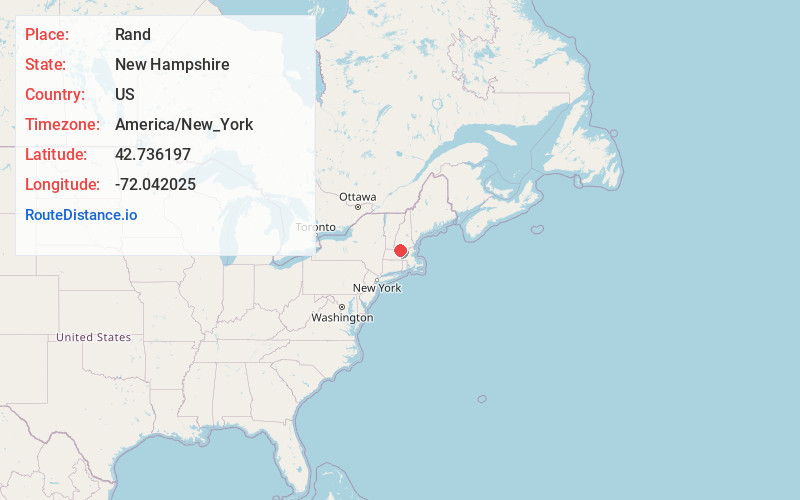
Location Information
-
Full AddressRand, Rindge, NH 03461
-
Coordinates42.7361965, -72.0420247
-
LocationRindge , New Hampshire , US
-
TimezoneAmerica/New_York
-
Current Local Time2:31:22 PM America/New_YorkWednesday, June 25, 2025
-
Page Views0
Nearby Places
Found 10 places within 50 miles

Thomas
0.9 mi
1.4 km
Thomas, Rindge, NH 03461
Get directions

Rindge
1.9 mi
3.1 km
Rindge, NH 03461
Get directions
West Rindge
2.0 mi
3.2 km
West Rindge, Rindge, NH 03461
Get directions
State Line
2.4 mi
3.9 km
State Line, Fitzwilliam, NH 03447
Get directions
Cutter Hill
2.8 mi
4.5 km
Cutter Hill, Rindge, NH 03461
Get directions
Harrisville
2.8 mi
4.5 km
Harrisville, Winchendon, MA 01475
Get directions
Converseville
3.1 mi
5.0 km
Converseville, Rindge, NH 03461
Get directions

Winchendon
3.4 mi
5.5 km
Winchendon, MA
Get directions
Bullardville
3.4 mi
5.5 km
Bullardville, Winchendon, MA 01475
Get directions
East Rindge
3.9 mi
6.3 km
East Rindge, Rindge, NH 03461
Get directions
Location Links
Local Weather
Weather Information
Coming soon!
Location Map
Static map view of Rand, New Hampshire
Browse Places by Distance
Places within specific distances from Rand
Short Distances
Long Distances
Click any distance to see all places within that range from Rand. Distances shown in miles (1 mile ≈ 1.61 kilometers).