Distance to Randall, West Virginia

Calculating Your Route
Just a moment while we process your request...
Location Information
-
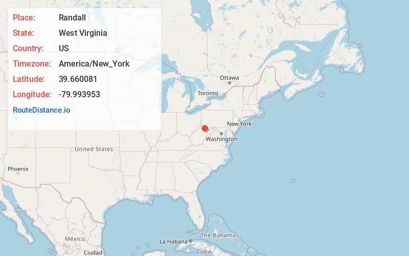
Full AddressRandall, WV 26534
-
Coordinates39.6600808, -79.9939531
-
LocationWest Virginia , US
-
TimezoneAmerica/New_York
-
Current Local Time5:14:21 AM America/New_YorkSaturday, June 14, 2025
-
Page Views0
About Randall
Randall is an unincorporated community in Monongalia County, West Virginia, United States. It lies 244 m above sea level.
Nearby Places
Found 10 places within 50 miles

Bertha Hill
0.3 mi
0.5 km
Bertha Hill, WV 26505
Get directions

Star City
0.4 mi
0.6 km
Star City, WV
Get directions

Osage
0.7 mi
1.1 km
Osage, WV
Get directions

Granville
1.0 mi
1.6 km
Granville, WV
Get directions

Maidsville
2.1 mi
3.4 km
Maidsville, WV 26541
Get directions

Westover
2.2 mi
3.5 km
Westover, WV
Get directions
Baker Ridge
2.6 mi
4.2 km
Baker Ridge, WV 26508
Get directions
Van Voorhis
2.6 mi
4.2 km
Van Voorhis, WV 26508
Get directions
West Van Voorhis
2.9 mi
4.7 km
West Van Voorhis, WV 26541
Get directions

Morgantown
2.9 mi
4.7 km
Morgantown, WV
Get directions
Location Links
Local Weather
Weather Information
Coming soon!
Location Map
Static map view of Randall, West Virginia
Browse Places by Distance
Places within specific distances from Randall
Short Distances
Long Distances
Click any distance to see all places within that range from Randall. Distances shown in miles (1 mile ≈ 1.61 kilometers).