Distance to Randolph, Pennsylvania

Calculating Your Route
Just a moment while we process your request...
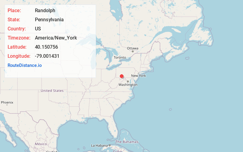
Location Information
-
Full AddressRandolph, PA 15531
-
Coordinates40.1507563, -79.0014308
-
LocationRandolph , Pennsylvania , US
-
TimezoneAmerica/New_York
-
Current Local Time11:51:25 PM America/New_YorkThursday, June 5, 2025
-
Page Views0
About Randolph
Randolph is an unincorporated community and coal town in Somerset County, Pennsylvania, United States. Randolph Coal Company operated a mine in Randolph in 1918.
Nearby Places
Found 10 places within 50 miles

Conemaugh Township Area School District
7.2 mi
11.6 km
Conemaugh Township Area School District, PA
Get directions
Shade-Central City School District
10.2 mi
16.4 km
Shade-Central City School District, Shade Township, PA
Get directions

Paint
10.3 mi
16.6 km
Paint, PA 15963
Get directions

Upper Yoder Township
10.5 mi
16.9 km
Upper Yoder Township, PA 15905
Get directions
Elim
10.6 mi
17.1 km
Elim, PA 15905
Get directions

Somerset
10.6 mi
17.1 km
Somerset, PA 15501
Get directions

Windber
10.7 mi
17.2 km
Windber, PA 15963
Get directions

Southmont
11.5 mi
18.5 km
Southmont, PA 15905
Get directions
Westmont
11.7 mi
18.8 km
Westmont, PA
Get directions
Geistown
12.0 mi
19.3 km
Geistown, PA 15904
Get directions
Location Links
Local Weather
Weather Information
Coming soon!
Location Map
Static map view of Randolph, Pennsylvania
Browse Places by Distance
Places within specific distances from Randolph
Short Distances
Long Distances
Click any distance to see all places within that range from Randolph. Distances shown in miles (1 mile ≈ 1.61 kilometers).