Distance to Randolph, Mississippi

Calculating Your Route
Just a moment while we process your request...
Location Information
-
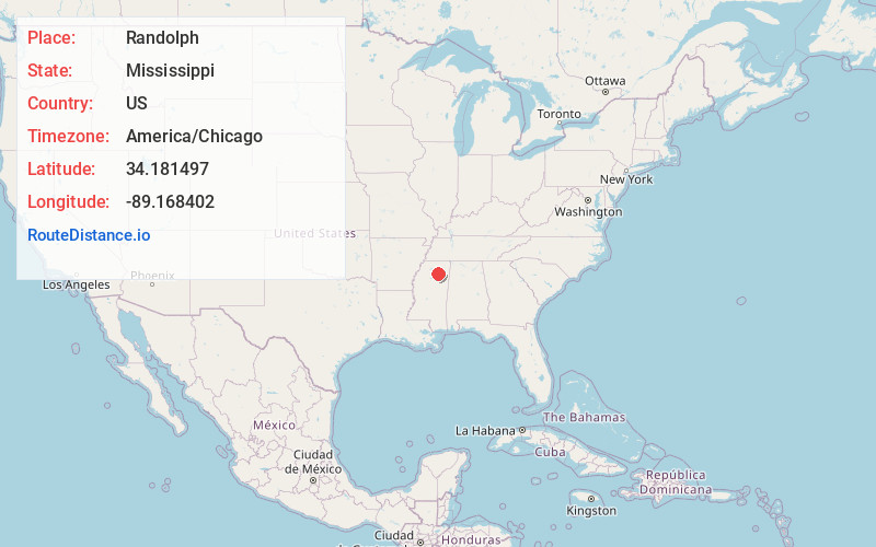
Full AddressRandolph, MS
-
Coordinates34.1814965, -89.168402
-
LocationRandolph , Mississippi , US
-
TimezoneAmerica/Chicago
-
Current Local Time8:24:56 PM America/ChicagoWednesday, June 18, 2025
-
Page Views0
About Randolph
Randolph is a census-designated place and unincorporated community in Pontotoc County, Mississippi. Randolph is located along Mississippi Highway 9. It was first named as a CDP in the 2020 Census.
Nearby Places
Found 10 places within 50 miles

Algoma
7.7 mi
12.4 km
Algoma, MS 38863
Get directions

Thaxton
8.7 mi
14.0 km
Thaxton, MS
Get directions
Pontotoc
10.7 mi
17.2 km
Pontotoc, MS 38863
Get directions

New Houlka
13.0 mi
20.9 km
New Houlka, MS 38850
Get directions

Ecru
14.5 mi
23.3 km
Ecru, MS
Get directions
Bruce
16.8 mi
27.0 km
Bruce, MS 38915
Get directions

Vardaman
21.1 mi
34.0 km
Vardaman, MS 38878
Get directions

Houston
21.8 mi
35.1 km
Houston, MS 38851
Get directions
Sherman
22.4 mi
36.0 km
Sherman, MS
Get directions

New Albany
23.5 mi
37.8 km
New Albany, MS 38652
Get directions
Location Links
Local Weather
Weather Information
Coming soon!
Location Map
Static map view of Randolph, Mississippi
Browse Places by Distance
Places within specific distances from Randolph
Short Distances
Long Distances
Click any distance to see all places within that range from Randolph. Distances shown in miles (1 mile ≈ 1.61 kilometers).