Distance to Randolph, Virginia

Calculating Your Route
Just a moment while we process your request...
Location Information
-
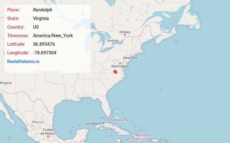
Full AddressRandolph, VA 23967
-
Coordinates36.8934755, -78.6975036
-
LocationRandolph , Virginia , US
-
TimezoneAmerica/New_York
-
Current Local Time9:53:46 AM America/New_YorkWednesday, June 18, 2025
-
Page Views0
About Randolph
Randolph, formerly called Roanoke and Talcott, is a small unincorporated community in Charlotte County, Virginia, United States, near the Staunton River. Its elevation is 354 feet. The community is the home of Staunton River Battlefield State Park.


Nearby Places
Found 10 places within 50 miles

Formosa
2.5 mi
4.0 km
Formosa, VA 23967
Get directions
Saxe
3.1 mi
5.0 km
Saxe, VA 23967
Get directions
Clover
4.7 mi
7.6 km
Clover, VA
Get directions
Mt Laurel
5.1 mi
8.2 km
Mt Laurel, VA 24534
Get directions
Public Fork
5.3 mi
8.5 km
Public Fork, VA 23967
Get directions

Drakes Branch
8.7 mi
14.0 km
Drakes Branch, VA 23937
Get directions
Chandlers Forks
8.7 mi
14.0 km
Chandlers Forks, VA 23962
Get directions
Clays Mill
10.5 mi
16.9 km
Clays Mill, VA 24558
Get directions
Whitesville
10.5 mi
16.9 km
Whitesville, VA 24577
Get directions
Scottsburg
10.7 mi
17.2 km
Scottsburg, VA 24589
Get directions
Location Links
Local Weather
Weather Information
Coming soon!
Location Map
Static map view of Randolph, Virginia
Browse Places by Distance
Places within specific distances from Randolph
Short Distances
Long Distances
Click any distance to see all places within that range from Randolph. Distances shown in miles (1 mile ≈ 1.61 kilometers).