Distance to Range, Alabama

Calculating Your Route
Just a moment while we process your request...
Location Information
-
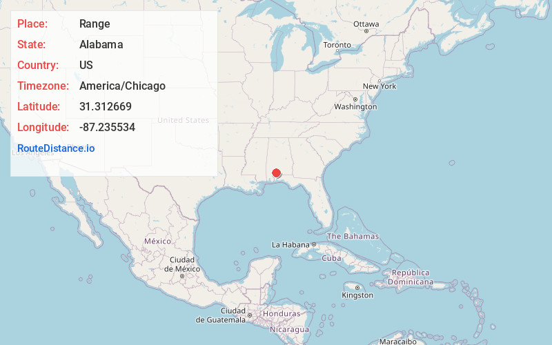
Full AddressRange, AL 36475
-
Coordinates31.3126694, -87.2355341
-
LocationRange , Alabama , US
-
TimezoneAmerica/Chicago
-
Current Local Time10:51:28 PM America/ChicagoWednesday, June 18, 2025
-
Page Views0
About Range
Range is an unincorporated community in Conecuh County, Alabama, United States. Range is located along Alabama State Route 41, 6.7 miles south of Repton. Range has a post office with ZIP code 36473.
Nearby Places
Found 10 places within 50 miles

Janes Mill
5.4 mi
8.7 km
Janes Mill, AL 36432
Get directions
Repton
6.7 mi
10.8 km
Repton, AL 36475
Get directions
Wallace
7.2 mi
11.6 km
Wallace, AL 36426
Get directions
Halls Crossroads
8.4 mi
13.5 km
Halls Crossroads, AL 36460
Get directions
Excel
10.1 mi
16.3 km
Excel, AL
Get directions

Goodway
11.4 mi
18.3 km
Goodway, AL 36445
Get directions
Drewry
12.0 mi
19.3 km
Drewry, AL 36460
Get directions
Megargel
12.3 mi
19.8 km
Megargel, AL 36445
Get directions

Castleberry
12.6 mi
20.3 km
Castleberry, AL 36432
Get directions
Ollie
12.7 mi
20.4 km
Ollie, AL 36460
Get directions
Location Links
Local Weather
Weather Information
Coming soon!
Location Map
Static map view of Range, Alabama
Browse Places by Distance
Places within specific distances from Range
Short Distances
Long Distances
Click any distance to see all places within that range from Range. Distances shown in miles (1 mile ≈ 1.61 kilometers).