Distance to Rapidan, Virginia

Calculating Your Route
Just a moment while we process your request...
Location Information
-
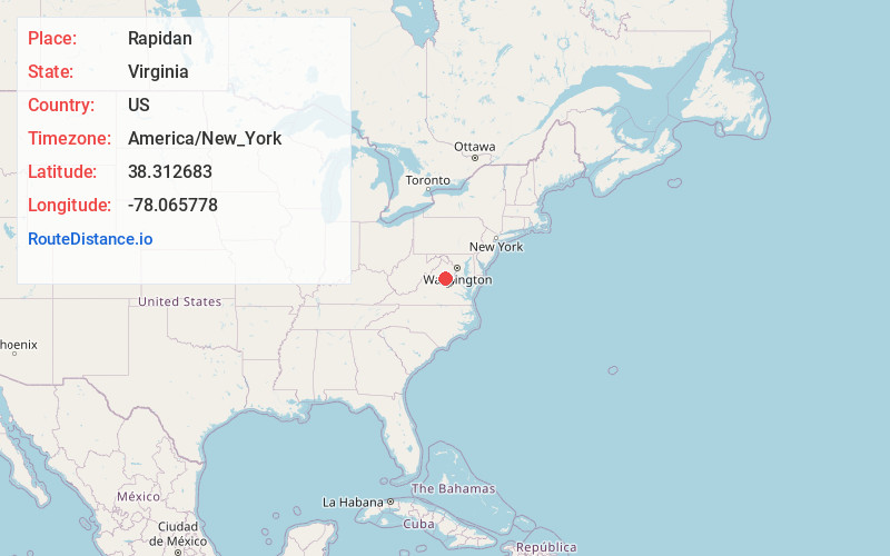
Full AddressRapidan, VA
-
Coordinates38.3126831, -78.0657777
-
LocationRapidan , Virginia , US
-
TimezoneAmerica/New_York
-
Current Local Time4:27:11 AM America/New_YorkWednesday, June 25, 2025
-
Page Views0
About Rapidan
Rapidan is a small unincorporated community in the Virginia counties of Culpeper and Orange, approximately 5 miles northeast of the Town of Orange. The community, located on both sides of the Rapidan River, was established in the late eighteenth century around the Waugh's Ford mill.


Nearby Places
Found 10 places within 50 miles

Buena
2.2 mi
3.5 km
Buena, VA 22729
Get directions

Locust Dale
3.7 mi
6.0 km
Locust Dale, VA 22960
Get directions
Nasons
4.5 mi
7.2 km
Nasons, VA 22960
Get directions
Madison Mills
4.6 mi
7.4 km
Madison Mills, VA 22960
Get directions
Tanners
4.7 mi
7.6 km
Tanners, VA 22960
Get directions
Mitchells
4.9 mi
7.9 km
Mitchells, VA 22729
Get directions

Orange
5.3 mi
8.5 km
Orange, VA 22960
Get directions
Everona
5.4 mi
8.7 km
Everona, VA 22733
Get directions
Grassland
5.5 mi
8.9 km
Grassland, Unionville, VA 22567
Get directions
Achash
5.6 mi
9.0 km
Achash, VA 22960
Get directions
Location Links
Local Weather
Weather Information
Coming soon!
Location Map
Static map view of Rapidan, Virginia
Browse Places by Distance
Places within specific distances from Rapidan
Short Distances
Long Distances
Click any distance to see all places within that range from Rapidan. Distances shown in miles (1 mile ≈ 1.61 kilometers).