Distance to Rayborn, Missouri

Calculating Your Route
Just a moment while we process your request...
Location Information
-
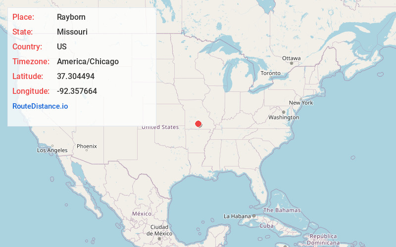
Full AddressRayborn, Van Buren Township, MO 65711
-
Coordinates37.3044937, -92.357664
-
LocationVan Buren Township , Missouri , US
-
TimezoneAmerica/Chicago
-
Current Local Time12:52:22 PM America/ChicagoFriday, June 6, 2025
-
Page Views0
About Rayborn
Rayborn is an unincorporated community in eastern Wright County, in the U.S. state of Missouri. Rayborn is located on Missouri Route 38, between Hartville and Graff. The intersection of Route 38 and Missouri Route 95 is approximately 2.5 miles to the east of the town.
Nearby Places
Found 10 places within 50 miles

Grimes Mill
2.3 mi
3.7 km
Grimes Mill, Van Buren Township, MO 65667
Get directions
Green Mountain
2.8 mi
4.5 km
Green Mountain, Van Buren Township, MO 65711
Get directions
Graff
4.2 mi
6.8 km
Graff, MO 65660
Get directions
Dawson
4.3 mi
6.9 km
Dawson, MO 65711
Get directions
Manes
5.2 mi
8.4 km
Manes, MO 65711
Get directions
Owens
6.4 mi
10.3 km
Owens, Wood Township, MO 65717
Get directions
Crossroads Store
8.2 mi
13.2 km
Crossroads Store, Wood Township, MO 65717
Get directions
Bendavis
8.3 mi
13.4 km
Bendavis, MO 65689
Get directions
Huggins
8.8 mi
14.2 km
Huggins, MO 65484
Get directions

Hartville
9.2 mi
14.8 km
Hartville, MO 65667
Get directions
Location Links
Local Weather
Weather Information
Coming soon!
Location Map
Static map view of Rayborn, Missouri
Browse Places by Distance
Places within specific distances from Rayborn
Short Distances
Long Distances
Click any distance to see all places within that range from Rayborn. Distances shown in miles (1 mile ≈ 1.61 kilometers).