Distance to Rayburn Township, Pennsylvania

Calculating Your Route
Just a moment while we process your request...
Location Information
-
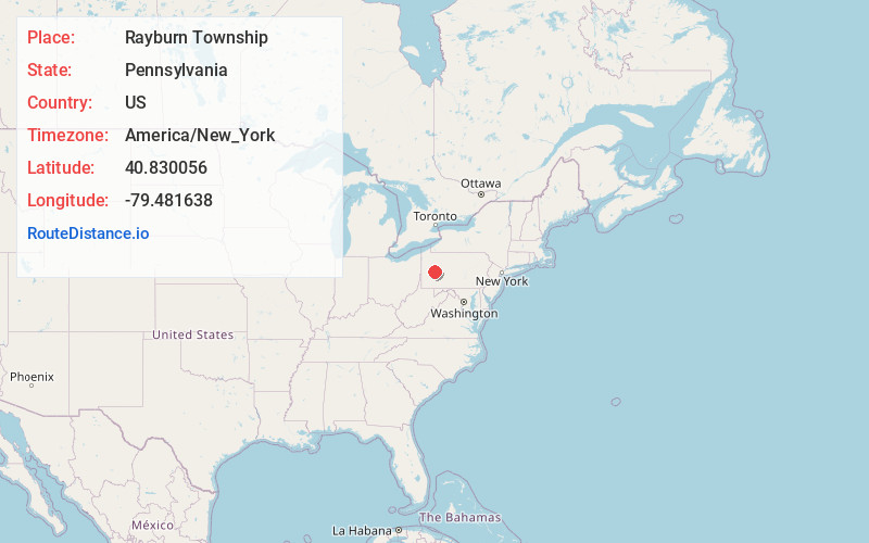
Full AddressRayburn Township, PA
-
Coordinates40.8300558, -79.4816378
-
LocationRayburn Township , Pennsylvania , US
-
TimezoneAmerica/New_York
-
Current Local Time4:49:10 AM America/New_YorkWednesday, June 18, 2025
-
Page Views0
About Rayburn Township
Rayburn Township is a township that is located in Armstrong County, Pennsylvania, United States. The population was 1,766 at the time of the 2020 census, a decrease from the figure of 1,907 that was tabulated in 2010.


Nearby Places
Found 10 places within 50 miles

Kittanning
2.3 mi
3.7 km
Kittanning, PA 16201
Get directions

Armstrong County
3.4 mi
5.5 km
Armstrong County, PA
Get directions

Cowanshannock Creek
3.6 mi
5.8 km
Cowanshannock Creek, Pennsylvania
Get directions

Ford City
4.7 mi
7.6 km
Ford City, PA
Get directions

East Franklin Township
5.9 mi
9.5 km
East Franklin Township, PA
Get directions

North Buffalo
7.1 mi
11.4 km
North Buffalo, PA 16201
Get directions

Plumcreek Township
9.6 mi
15.4 km
Plumcreek Township, PA
Get directions
South Buffalo Township
11.0 mi
17.7 km
South Buffalo Township, PA
Get directions
Adams
11.4 mi
18.3 km
Adams, PA 16028
Get directions

Brady Township
12.1 mi
19.5 km
Brady Township, PA
Get directions
Location Links
Local Weather
Weather Information
Coming soon!
Location Map
Static map view of Rayburn Township, Pennsylvania
Browse Places by Distance
Places within specific distances from Rayburn Township
Short Distances
Long Distances
Click any distance to see all places within that range from Rayburn Township. Distances shown in miles (1 mile ≈ 1.61 kilometers).