Distance to Raydure, Kentucky

Calculating Your Route
Just a moment while we process your request...
Location Information
-
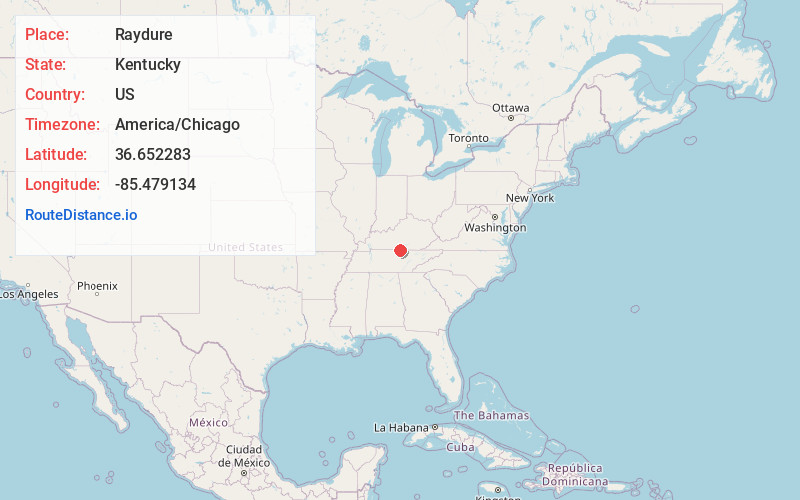
Full AddressRaydure, KY 42167
-
Coordinates36.6522832, -85.4791337
-
LocationKentucky , US
-
TimezoneAmerica/Chicago
-
Current Local Time1:26:56 PM America/ChicagoSaturday, May 31, 2025
-
Page Views0
About Raydure
Raydure is an unincorporated community located in Monroe County, Kentucky, United States. It was also known as Johnstonville.
Nearby Places
Found 10 places within 50 miles

Judio
3.0 mi
4.8 km
Judio, KY 42717
Get directions
Littrell
5.1 mi
8.2 km
Littrell, KY 42717
Get directions
Meshack
6.8 mi
10.9 km
Meshack, KY 42167
Get directions
Holly Creek
7.1 mi
11.4 km
Holly Creek, Tennessee 38551
Get directions

Celina
7.2 mi
11.6 km
Celina, TN 38551
Get directions
Hestand
8.3 mi
13.4 km
Hestand, KY 42167
Get directions
Arcott
10.1 mi
16.3 km
Arcott, TN 38551
Get directions
Bow
10.6 mi
17.1 km
Bow, KY 42717
Get directions

Burkesville
11.3 mi
18.2 km
Burkesville, KY 42717
Get directions
Hegira
11.9 mi
19.2 km
Hegira, KY 42717
Get directions
Location Links
Local Weather
Weather Information
Coming soon!
Location Map
Static map view of Raydure, Kentucky
Browse Places by Distance
Places within specific distances from Raydure
Short Distances
Long Distances
Click any distance to see all places within that range from Raydure. Distances shown in miles (1 mile ≈ 1.61 kilometers).