Distance to Red Bluff, California

Calculating Your Route
Just a moment while we process your request...
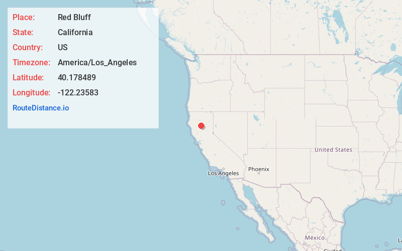
Location Information
-
Full AddressRed Bluff, CA 96080
-
Coordinates40.1784886, -122.2358302
-
LocationRed Bluff , California , US
-
TimezoneAmerica/Los_Angeles
-
Current Local Time12:03:47 AM America/Los_AngelesThursday, May 29, 2025
-
Website
-
Page Views0
About Red Bluff
Red Bluff is a city in and the county seat of Tehama County, California, United States. Its population was 14,710 at the 2020 census, up from 14,076 at the 2010 census.
It is located 131 miles north of Sacramento, 31 mi south of Redding, and it is bisected by Interstate 5.


Nearby Places
Found 2 places within 50 miles


Location Links
Local Weather
Weather Information
Coming soon!
Location Map
Static map view of Red Bluff, California
Browse Places by Distance
Places within specific distances from Red Bluff
Short Distances
Long Distances
Click any distance to see all places within that range from Red Bluff. Distances shown in miles (1 mile ≈ 1.61 kilometers).