Distance to Red Butte, Wyoming

Calculating Your Route
Just a moment while we process your request...
Location Information
-
Full AddressRed Butte, WY 82604
-
Coordinates42.8060757, -106.4341976
-
LocationRed Butte , Wyoming , US
-
TimezoneAmerica/Denver
-
Current Local Time1:23:48 PM America/DenverTuesday, June 3, 2025
-
Page Views0
About Red Butte
Red Butte is a census-designated place in Natrona County, Wyoming, United States. It is part of the Casper, Wyoming Metropolitan Statistical Area. The population was 1,430 at the 2020 census.

Nearby Places
Found 7 places within 50 miles

Vista West
3.9 mi
6.3 km
Vista West, WY 82604
Get directions

Mills
4.0 mi
6.4 km
Mills, WY
Get directions

Casper
7.5 mi
12.1 km
Casper, WY
Get directions

Hartrandt
7.6 mi
12.2 km
Hartrandt, WY 82601
Get directions
Bar Nunn
8.8 mi
14.2 km
Bar Nunn, WY 82601
Get directions

Evansville
9.1 mi
14.6 km
Evansville, WY
Get directions

Glenrock
28.7 mi
46.2 km
Glenrock, WY 82637
Get directions
Location Links
Local Weather
Weather Information
Coming soon!
Location Map
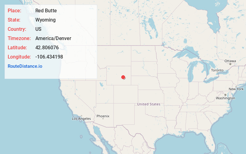
Static map view of Red Butte, Wyoming
Browse Places by Distance
Places within specific distances from Red Butte
Short Distances
Long Distances
Click any distance to see all places within that range from Red Butte. Distances shown in miles (1 mile ≈ 1.61 kilometers).