Distance to Red Cedar, Wisconsin

Calculating Your Route
Just a moment while we process your request...
Location Information
-
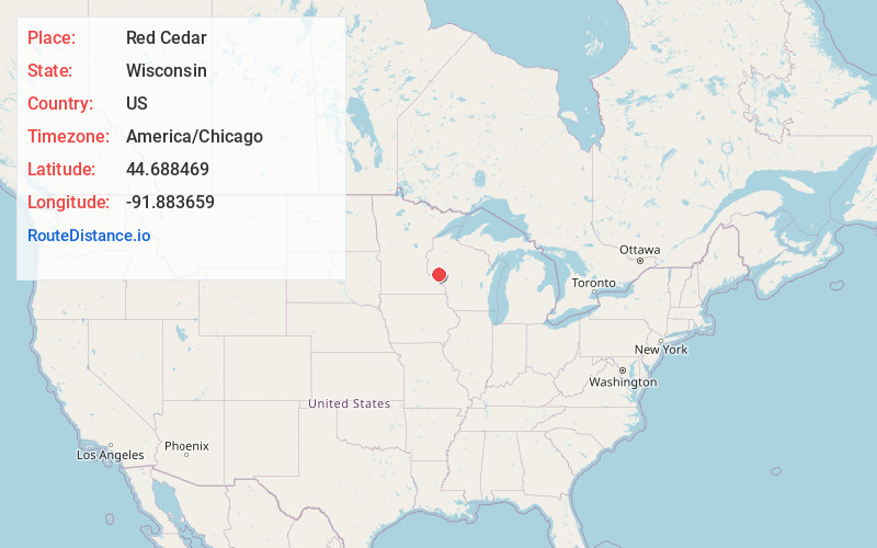
Full AddressRed Cedar, WI 54736
-
Coordinates44.688469, -91.883659
-
LocationRed Cedar , Wisconsin , US
-
TimezoneAmerica/Chicago
-
Current Local Time8:49:43 AM America/ChicagoFriday, June 20, 2025
-
Page Views0
Nearby Places
Found 10 places within 50 miles

Durand
5.9 mi
9.5 km
Durand, WI 54736
Get directions

Eau Galle
6.3 mi
10.1 km
Eau Galle, WI
Get directions

Downsville
6.4 mi
10.3 km
Downsville, WI 54751
Get directions

Arkansaw
8.2 mi
13.2 km
Arkansaw, WI
Get directions

Rock Falls
9.7 mi
15.6 km
Rock Falls, WI 54755
Get directions
Irvington
10.8 mi
17.4 km
Irvington, Menomonie, WI 54751
Get directions
Caryville
11.1 mi
17.9 km
Caryville, WI 54739
Get directions
Porcupine Creek
12.8 mi
20.6 km
Porcupine Creek, Wisconsin
Get directions

Menomonie
13.0 mi
20.9 km
Menomonie, WI 54751
Get directions

Mondovi
13.4 mi
21.6 km
Mondovi, WI 54755
Get directions
Location Links
Local Weather
Weather Information
Coming soon!
Location Map
Static map view of Red Cedar, Wisconsin
Browse Places by Distance
Places within specific distances from Red Cedar
Short Distances
Long Distances
Click any distance to see all places within that range from Red Cedar. Distances shown in miles (1 mile ≈ 1.61 kilometers).