Distance to Red Cross, Kentucky

Calculating Your Route
Just a moment while we process your request...
Location Information
-
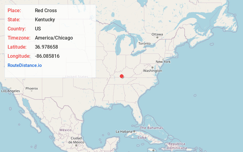
Full AddressRed Cross, KY 42160
-
Coordinates36.9786583, -86.0858158
-
LocationKentucky , US
-
TimezoneAmerica/Chicago
-
Current Local Time11:07:59 AM America/ChicagoThursday, June 5, 2025
-
Page Views0
Nearby Places
Found 10 places within 50 miles

Hydro
3.9 mi
6.3 km
Hydro, KY 42171
Get directions
Carden
6.5 mi
10.5 km
Carden, KY 42141
Get directions
Oil City
6.8 mi
10.9 km
Oil City, KY 42141
Get directions
Rocky Hill
6.8 mi
10.9 km
Rocky Hill, KY 42171
Get directions

Brigadoon State Nature Preserve
8.0 mi
12.9 km
Brigadoon State Nature Preserve, Glasgow, KY 42141
Get directions

Park City
8.2 mi
13.2 km
Park City, KY 42160
Get directions

Smiths Grove
8.4 mi
13.5 km
Smiths Grove, KY 42171
Get directions

Glasgow
9.6 mi
15.4 km
Glasgow, KY 42141
Get directions
Bristletown
9.7 mi
15.6 km
Bristletown, KY 42141
Get directions

Oakland
10.0 mi
16.1 km
Oakland, KY 42159
Get directions
Location Links
Local Weather
Weather Information
Coming soon!
Location Map
Static map view of Red Cross, Kentucky
Browse Places by Distance
Places within specific distances from Red Cross
Short Distances
Long Distances
Click any distance to see all places within that range from Red Cross. Distances shown in miles (1 mile ≈ 1.61 kilometers).