Distance to Red Head, Florida

Calculating Your Route
Just a moment while we process your request...
Location Information
-
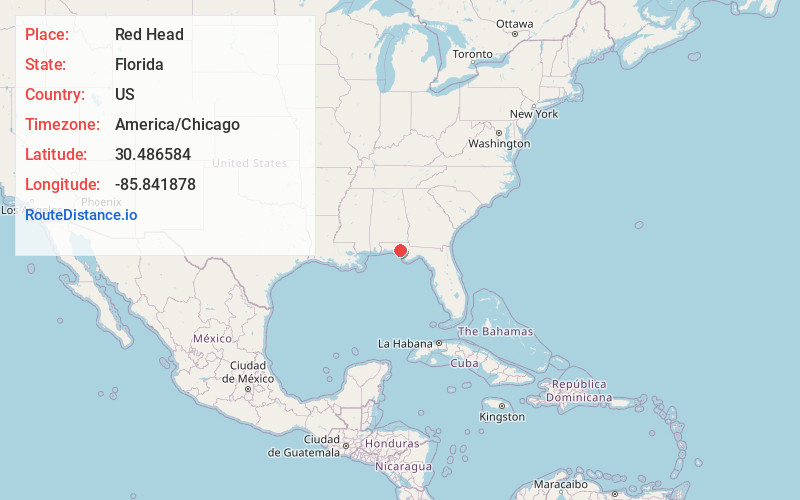
Full AddressRed Head, FL 32462
-
Coordinates30.4865841, -85.8418779
-
LocationFlorida , US
-
TimezoneAmerica/Chicago
-
Current Local Time4:36:51 PM America/ChicagoTuesday, June 17, 2025
-
Page Views0
About Red Head
Red Head is an unincorporated community in Washington County, Florida, United States. It is located along State Road 79 north of Ebro, and is the home of a local airstrip named Red Head Airport, which is a private enterprise where landings require prior permission.
Nearby Places
Found 10 places within 50 miles

Miller Bend
2.7 mi
4.3 km
Miller Bend, FL 32455
Get directions
Ebro
3.6 mi
5.8 km
Ebro, FL 32437
Get directions
Millers Ferry
5.9 mi
9.5 km
Millers Ferry, FL 32462
Get directions
New Hope
6.6 mi
10.6 km
New Hope, FL 32462
Get directions
Pine Log
7.1 mi
11.4 km
Pine Log, FL 32437
Get directions

Vernon
12.2 mi
19.6 km
Vernon, FL 32462
Get directions
Laird
12.8 mi
20.6 km
Laird, FL 32413
Get directions

West Bay
13.5 mi
21.7 km
West Bay, FL 32413
Get directions

Ponce De Leon
17.3 mi
27.8 km
Ponce De Leon, FL 32455
Get directions

Freeport
17.5 mi
28.2 km
Freeport, FL
Get directions
Location Links
Local Weather
Weather Information
Coming soon!
Location Map
Static map view of Red Head, Florida
Browse Places by Distance
Places within specific distances from Red Head
Short Distances
Long Distances
Click any distance to see all places within that range from Red Head. Distances shown in miles (1 mile ≈ 1.61 kilometers).