Distance to Red Lake Falls, Minnesota

Calculating Your Route
Just a moment while we process your request...
Location Information
-
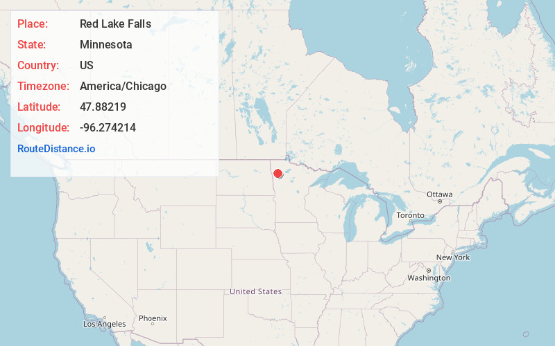
Full AddressRed Lake Falls, MN 56750
-
Coordinates47.88219, -96.2742143
-
LocationRed Lake Falls , Minnesota , US
-
TimezoneAmerica/Chicago
-
Current Local Time10:09:32 AM America/ChicagoThursday, June 5, 2025
-
Page Views0
About Red Lake Falls
Red Lake Falls is a city and the county seat of Red Lake County, Minnesota, United States. The population was 1,339 at the 2020 census. It is the county seat of Red Lake County. The city lies in the middle of Red Lake Falls Township, from which it was separated when incorporated as a village in 1881.


Nearby Places
Found 6 places within 50 miles

Crookston
17.2 mi
27.7 km
Crookston, MN 56716
Get directions

Warren
31.7 mi
51.0 km
Warren, MN 56762
Get directions

Fosston
32.2 mi
51.8 km
Fosston, MN 56542
Get directions

Grand Forks
35.3 mi
56.8 km
Grand Forks, ND
Get directions

Ada
41.8 mi
67.3 km
Ada, MN 56510
Get directions

Hillsboro
49.4 mi
79.5 km
Hillsboro, ND 58045
Get directions
Location Links
Local Weather
Weather Information
Coming soon!
Location Map
Static map view of Red Lake Falls, Minnesota
Browse Places by Distance
Places within specific distances from Red Lake Falls
Short Distances
Long Distances
Click any distance to see all places within that range from Red Lake Falls. Distances shown in miles (1 mile ≈ 1.61 kilometers).