Distance to Red Mills, Virginia

Calculating Your Route
Just a moment while we process your request...
Location Information
-
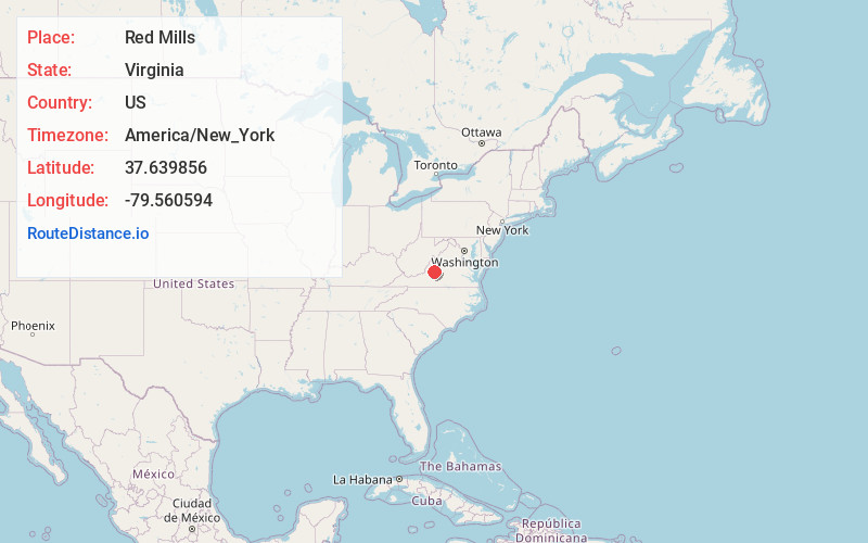
Full AddressRed Mills, VA 24578
-
Coordinates37.6398558, -79.5605944
-
LocationRed Mills , Virginia , US
-
TimezoneAmerica/New_York
-
Current Local Time2:14:38 PM America/New_YorkWednesday, June 4, 2025
-
Page Views0
Nearby Places
Found 10 places within 50 miles

Fancy Hill
4.2 mi
6.8 km
Fancy Hill, VA 24578
Get directions
Rocky Point
5.0 mi
8.0 km
Rocky Point, VA 24066
Get directions
Solitude
5.8 mi
9.3 km
Solitude, VA 24066
Get directions

Glasgow
6.0 mi
9.7 km
Glasgow, VA 24555
Get directions
Oakdale
6.9 mi
11.1 km
Oakdale, VA 24450
Get directions

Buchanan
10.1 mi
16.3 km
Buchanan, VA 24066
Get directions

Lexington
11.9 mi
19.2 km
Lexington, VA 24450
Get directions

Bearwallow Gap
12.3 mi
19.8 km
Bearwallow Gap, Virginia 24066
Get directions
Stewardsburg
12.8 mi
20.6 km
Stewardsburg, VA 24416
Get directions

East Lexington
12.9 mi
20.8 km
East Lexington, VA 24450
Get directions
Location Links
Local Weather
Weather Information
Coming soon!
Location Map
Static map view of Red Mills, Virginia
Browse Places by Distance
Places within specific distances from Red Mills
Short Distances
Long Distances
Click any distance to see all places within that range from Red Mills. Distances shown in miles (1 mile ≈ 1.61 kilometers).